
Kreuzstein, mit eingetieftem Kreuzzeichen, wohl spätmittelalterlich
Location: Freudenberg
Address: südwestlich bei der Straße nach Amberg, Abzweigung Stockerweg
GPS coordinates: 49.46861,11.93678
Latest update: June 22, 2025 01:27
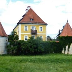
Schloss Moos
4.4 km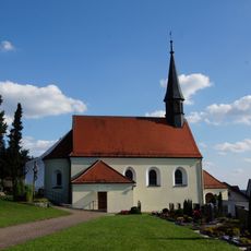
St. Peter und Paul (Paulsdorf)
3.2 km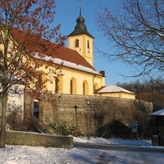
St. Martin
3.6 km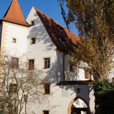
Unteres Schloss
450 m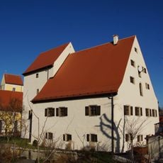
Oberes Schloss (Lintach)
342 m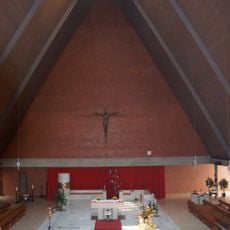
St. Josef
3 km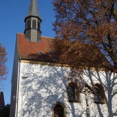
St. Johannes
3.4 km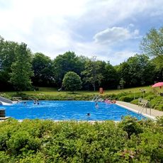
Freibad
2.7 km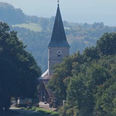
St. Ägidius
2.4 km
St. Ursula
2.3 km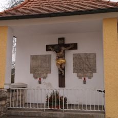
Kriegerdenkmal
369 m
St. Jakob
3.2 km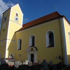
St. Walburga
354 m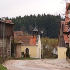
Marienkapelle
2.2 km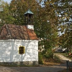
Kapelle
3.3 km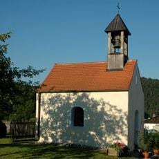
Wegkapelle Geiselhof
1.6 km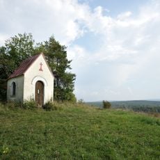
Marienkapelle
3.1 km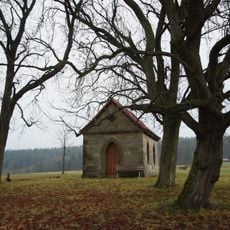
Donatuskapelle
2 km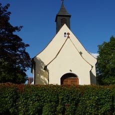
Herz-Jesu-Kapelle (Engelsdorf)
3.2 km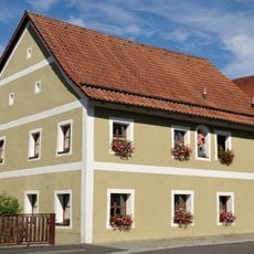
Gaststätte in Freudenberg
3.2 km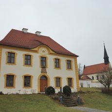
Pfarrhof Paulsdorf
3.1 km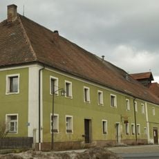
Walmdachbau mit langgestrecktem Wirtschaftsgebäude
3.3 km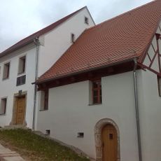
Ehemalige Mühle
3.7 km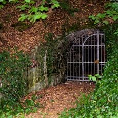
Felsenkeller
3.5 km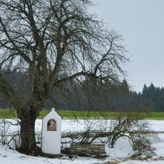
Sandsteinbildstock
3.8 km
Johannisberg
3.8 km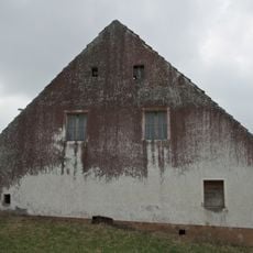
Ehemaliger Vierseithof
3.4 km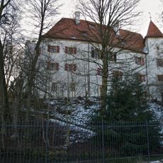
Ehemaliger Edelsitz, sogenannte Neues Schloss
449 mReviews
Visited this place? Tap the stars to rate it and share your experience / photos with the community! Try now! You can cancel it anytime.
Discover hidden gems everywhere you go!
From secret cafés to breathtaking viewpoints, skip the crowded tourist spots and find places that match your style. Our app makes it easy with voice search, smart filtering, route optimization, and insider tips from travelers worldwide. Download now for the complete mobile experience.

A unique approach to discovering new places❞
— Le Figaro
All the places worth exploring❞
— France Info
A tailor-made excursion in just a few clicks❞
— 20 Minutes