
Walmdachbau, mitte 19. Jahrhundert
Location: Hirschau
Address: Ehenfeld 64
GPS coordinates: 49.57857,11.94405
Latest update: November 12, 2025 10:52
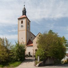
Pfarrkirche Ehenfeld
28 m
Rödlasberg
1.1 km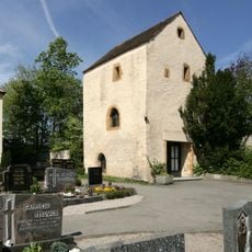
Wehrkirche Ehenfeld
40 m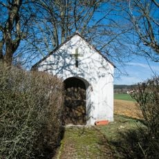
Marienkapelle
746 m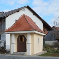
Kapelle Zum gegeißelten Heiland
94 m
Bildstock
208 m
Cultural heritage D-3-6437-0031 in Hirschau
18 m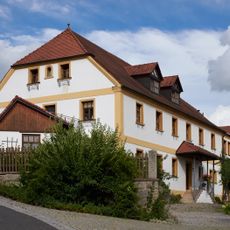
Wohnstallbau
35 m
Friedhofsmauer Ehenfeld 5 in Hirschau
30 m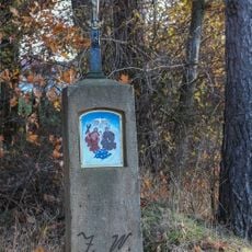
Bildstock
1 km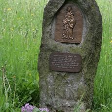
Pestmarterl
71 m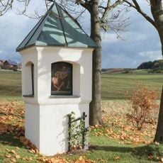
Bildstock
311 m
Heiligenfigur Ehenfeld 5 in Hirschau
39 m
Torturm Ehenfeld 5 in Hirschau
41 m
Scenic viewpoint
1 km
Pestmarterl
217 m
Weiße Marter
313 m
Wayside cross
1.1 km
Wayside shrine
1 km
Wayside cross
785 m
Wayside cross
211 m
Wayside shrine
671 m
Plösl-Marterl
507 m
Wayside cross
460 m
Wayside shrine
573 m
Coniferous forest, wayside cross, Christianity, tree, Catholic church building
988 m
Kurznmarterl/Wasteler-Marterl
64 m
Gedenkstein Paul Dorner
447 mReviews
Visited this place? Tap the stars to rate it and share your experience / photos with the community! Try now! You can cancel it anytime.
Discover hidden gems everywhere you go!
From secret cafés to breathtaking viewpoints, skip the crowded tourist spots and find places that match your style. Our app makes it easy with voice search, smart filtering, route optimization, and insider tips from travelers worldwide. Download now for the complete mobile experience.

A unique approach to discovering new places❞
— Le Figaro
All the places worth exploring❞
— France Info
A tailor-made excursion in just a few clicks❞
— 20 Minutes