
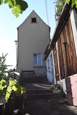
Turm der ehemaligen Stadtbefestigung
Turm der ehemaligen Stadtbefestigung, um 1500, mit Wohnungseinbauten; siehe Stadtbefestigung
Location: Sulzbach-Rosenberg
Address: Auf der Rahm 9
GPS coordinates: 49.50441,11.73548
Latest update: March 28, 2025 23:45
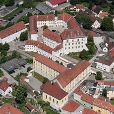
Burg Sulzbach
99 m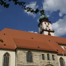
St. Marien (Sulzbach-Rosenberg)
256 m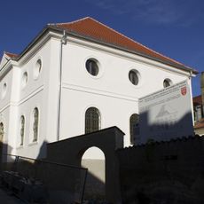
Synagogue
284 m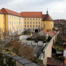
St. Hedwig
117 m
Luitpoldplatz 16 (Sulzbach-Rosenberg)
166 m
Ehemalige Spitalkirche St. Elisabeth,
126 m
Luitpoldplatz 19
210 m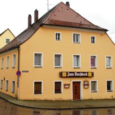
Sogenanntes Bochbeck-Anwesen, dann Gasthof
224 m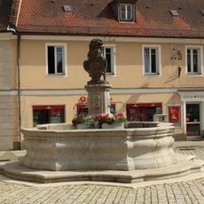
Brunnen am Hagtor, Luitpoldplatz
182 m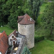
Obere Bachgasse 36 (Sulzbach-Rosenberg)
44 m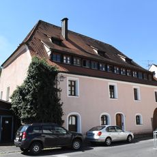
Ehemaliges Malzhaus, zuvor wohl Gerberhaus
254 m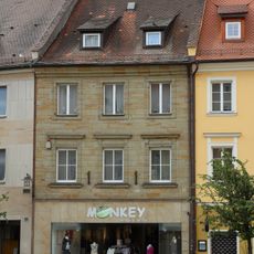
Luitpoldplatz 2
273 m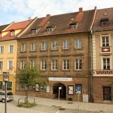
Luitpoldplatz 4
255 m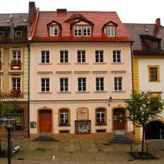
Luitpoldplatz 6
223 m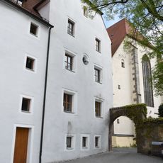
Ehemalige Lateinschule und Gymnasium
254 m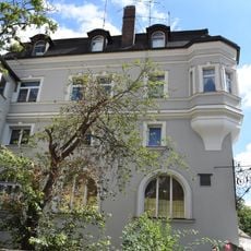
Ehemaliges Gasthaus Zur Sonne
218 m
Ehemaliges Pflasterzollhaus
198 m
Luitpoldplatz 20
219 m
Gasthof Zur Landkutsche
180 m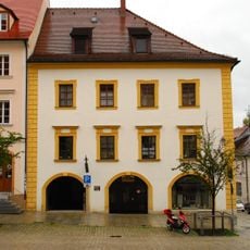
Luitpoldplatz 7
213 m
Luitpoldplatz 5
241 m
Luitpoldplatz 18
199 m
Wohnhaus
187 m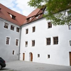
Ehemaliges Evangelisch-Lutherisches Gymnasium
250 m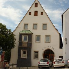
Luitpoldplatz 17
187 m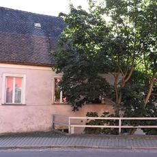
Wohnhaus
246 m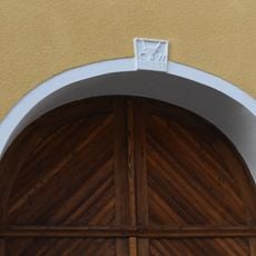
Schlussstein
163 m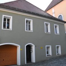
Ehemaliges Pfarrhaus
140 mVisited this place? Tap the stars to rate it and share your experience / photos with the community! Try now! You can cancel it anytime.
Discover hidden gems everywhere you go!
From secret cafés to breathtaking viewpoints, skip the crowded tourist spots and find places that match your style. Our app makes it easy with voice search, smart filtering, route optimization, and insider tips from travelers worldwide. Download now for the complete mobile experience.

A unique approach to discovering new places❞
— Le Figaro
All the places worth exploring❞
— France Info
A tailor-made excursion in just a few clicks❞
— 20 Minutes