
Kapelle, building in Hirschau, Upper Palatinate, Germany
Location: Hirschau
Address: In Weiher; Weiher 14
GPS coordinates: 49.51494,11.97049
Latest update: April 29, 2025 11:02
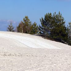
Monte Kaolino
2.1 km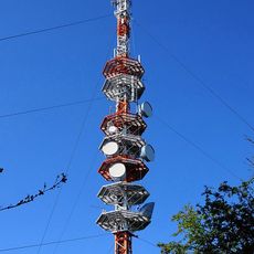
Sender Amberg
2.6 km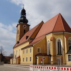
Pfarrkirche Mariä Himmelfahrt Hirschau
3.8 km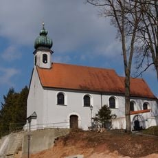
Vierzehn-Nothelfer-Kapelle
3.8 km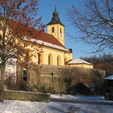
St. Martin
4 km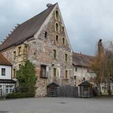
Pflegschloss Hirschau
3.6 km
Burgstall Schlossberg
4 km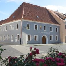
Gasthaus Goldener Hirsch
3.7 km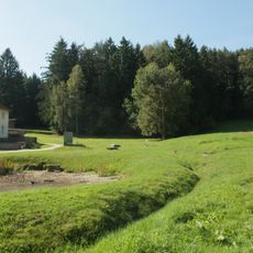
Turmhügel Kellerhübl
4 km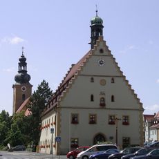
Rathaus Hirschau
3.7 km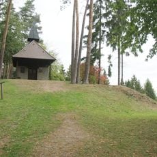
Buchbergkapelle
3.9 km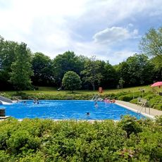
Freibad
4 km
Epitaph für Jörg Wurmrauscher
3.8 km
St. Ursula
3.4 km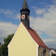
Katholische Filialkirche Mariae Opferung
186 m
St. Jakob
4.2 km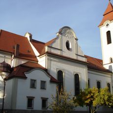
Katholische Pfarrkirche St. Vitus
4.2 km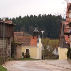
Marienkapelle
4 km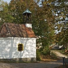
Kapelle
2.8 km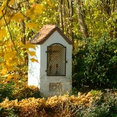
Sogenannte Pestkapelle
3.8 km
Ensemble Ortskern Schnaittenbach
3.8 km
Fernmeldedienstgebäude
3.9 km
Walmdachbau mit langgestrecktem Wirtschaftsgebäude
4 km
Gaststätte in Freudenberg
4.1 km
Ehemalige Mühle
4 km
Obere Mühle
3.7 km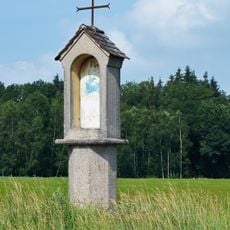
Bildstock, sogenannte Hohe Marter
3.7 km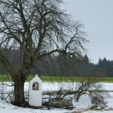
Sandsteinbildstock
3.8 kmReviews
Visited this place? Tap the stars to rate it and share your experience / photos with the community! Try now! You can cancel it anytime.
Discover hidden gems everywhere you go!
From secret cafés to breathtaking viewpoints, skip the crowded tourist spots and find places that match your style. Our app makes it easy with voice search, smart filtering, route optimization, and insider tips from travelers worldwide. Download now for the complete mobile experience.

A unique approach to discovering new places❞
— Le Figaro
All the places worth exploring❞
— France Info
A tailor-made excursion in just a few clicks❞
— 20 Minutes