
Stadel, mit Bohlen und Bundwerk, um 1860, Ecke Königsberg
Location: Gangkofen
Address: Königsberg
GPS coordinates: 48.43396,12.56227
Latest update: April 5, 2025 19:24
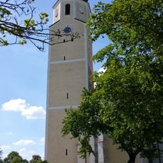
Wallfahrtskirche St. Salvator
905 m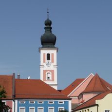
Pfarrkirche Gangkofen
315 m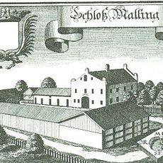
Schloss Malling
1.6 km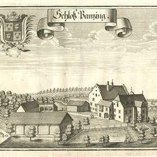
Schloss Panzing
656 m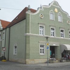
Schloss Gangkofen
453 m
Freibad Gangkofen
354 m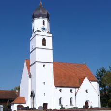
Saint Martin Church
4.7 km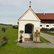
Wegkapelle
4.3 km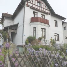
Villa
599 m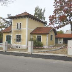
Ehemals Künstlervilla
607 m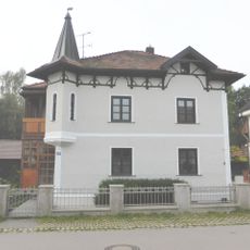
Villa
723 m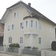
Villa
352 m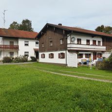
Kleinbauernhaus
5.1 km
Villa
617 m
Benefiziatenhaus Angerbach
5.2 km
Villa
582 m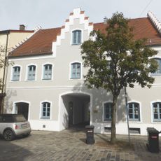
Ehemals Handwerkerhaus
278 m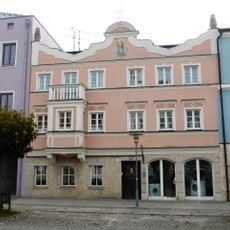
Wohn- und Geschäftshaus
386 m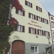
Wohnhaus und Bäckerei
354 m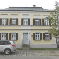
Ehemaliges Benefiziatenhaus
306 m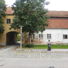
Torbogenhaus zum Hof der ehemaligen Deutschordenskommende
345 m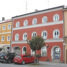
Marktplatz 14
346 m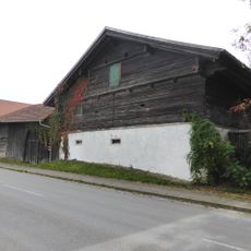
Stattlicher Vierseithof
4.6 km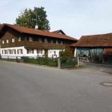
Kleinbauernanwesen
516 m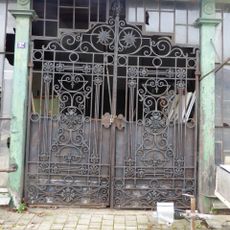
Werkstatt
589 m
Ehemals Handwerkerhaus
305 m
Marktplatz 32
459 m
Gasthaus
275 mReviews
Visited this place? Tap the stars to rate it and share your experience / photos with the community! Try now! You can cancel it anytime.
Discover hidden gems everywhere you go!
From secret cafés to breathtaking viewpoints, skip the crowded tourist spots and find places that match your style. Our app makes it easy with voice search, smart filtering, route optimization, and insider tips from travelers worldwide. Download now for the complete mobile experience.

A unique approach to discovering new places❞
— Le Figaro
All the places worth exploring❞
— France Info
A tailor-made excursion in just a few clicks❞
— 20 Minutes