Wohnhaus, building in Pfarrkirchen, Lower Bavaria, Germany
Location: Pfarrkirchen
Address: Äußere Simbacher Straße 31
GPS coordinates: 48.42672,12.94097
Latest update: November 19, 2025 22:52
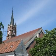
Sankt Simon und Judas Thaddäus
556 m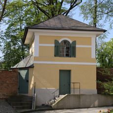
Wachturm Marienplatz in Pfarrkirchen
493 m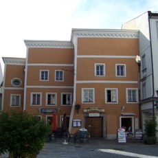
Kirchenwirt
566 m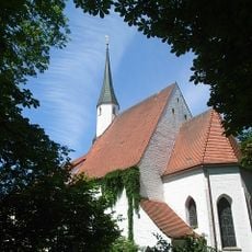
Spitalkirche Heilig Geist
484 m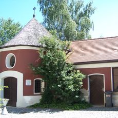
Ehemalige Friedhofs- oder Erasmuskapelle, jetzt Wohnhaus
572 m
Cultural heritage D-2-7543-0045 in Pfarrkirchen
556 m
Dr.-Bachl-Straße 1
472 m
Villengarten Nähe Dr.-Bachl-Straße in Pfarrkirchen
474 m
Cultural heritage D-2-7543-0110 in Pfarrkirchen
486 m
Saalkirche Spitalplatz 3 in Pfarrkirchen
490 m
Nebengebäude Pflegstraße 18 in Pfarrkirchen
483 m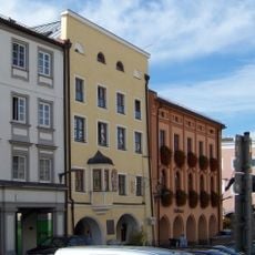
Stadtplatz 4
588 m
Pflegstraße 22
487 m
Bahnhofstraße 13
493 m
Tribünenbauten der Trabrennbahn
457 m
Pflegstraße 18
508 m
Gartentor Nähe Dr.-Bachl-Straße in Pfarrkirchen
456 m
Stadtmauer
472 m
Gartenpavillon Pflegstraße 22 in Pfarrkirchen
514 m
Kapelle Kirchenplatz 2 in Pfarrkirchen
573 m
Stadtbefestigung
583 m
Wohn- und Geschäftshaus
582 m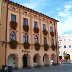
Rathaus Pfarrkirchen
591 m
Mesnerhaus
545 m
Wohnhaus
528 m
Junge mit Tuba
468 m
Saxophonspieler
527 m
Stehendes Mädchen
569 mReviews
Visited this place? Tap the stars to rate it and share your experience / photos with the community! Try now! You can cancel it anytime.
Discover hidden gems everywhere you go!
From secret cafés to breathtaking viewpoints, skip the crowded tourist spots and find places that match your style. Our app makes it easy with voice search, smart filtering, route optimization, and insider tips from travelers worldwide. Download now for the complete mobile experience.

A unique approach to discovering new places❞
— Le Figaro
All the places worth exploring❞
— France Info
A tailor-made excursion in just a few clicks❞
— 20 Minutes