
Steuerwald-Landmann-Straße 5-13, building in Nuremberg, Middle Franconia, Germany
Location: Nuremberg
Address: Steuerwald-Landmann-Straße 5-13 (ungerade Nummern)
GPS coordinates: 49.46580,11.11915
Latest update: March 5, 2025 22:50
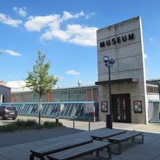
Museum of Industrial Culture
799 m
Schoppershof
792 m
St. Jobst
124 m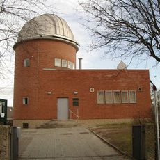
Regiomontanus-Sternwarte
663 m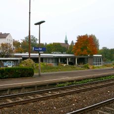
Nürnberg Ost
264 m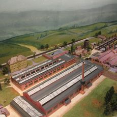
Tafelwerk Nürnberg
797 m
Graphic Art Collection of the City of Nuremberg
797 m
St. Jobst
149 m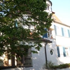
Erlenstegenstraße 28
789 m
Grimmstraße 3
549 m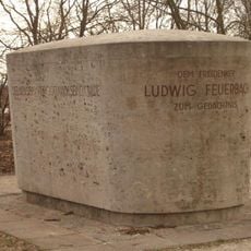
Monument to Ludwig Feuerbach in Nuremberg
708 m
Erlenstegenstraße 18
667 m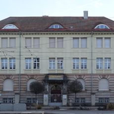
Einfriedung Äußere Sulzbacher Straße 60 in Nürnberg
793 m
Erlenstegenstraße 39 (D-5-64-000-2516)
821 m
Gneisenaustraße 15
219 m
Konrad-Groß-Schule
748 m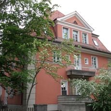
Steinplattenweg 24
224 m
Erlenstegenstraße 16-16a
616 m
Einfriedung Gneisenaustraße 15 in Nürnberg
213 m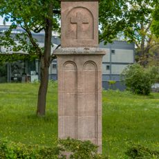
Martersäule
592 m
Hohenlohestraße 9-17
54 m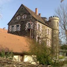
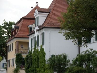
Ehemaliger Herrensitz Weigelshof
712 m
Bürgerhaus
804 m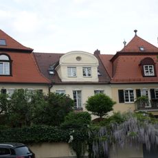
Hohenlohestraße 8
41 m
Ehemaliges Bahnhofsgebäude Ostbahnhof-Güterbahnhofs
327 m
Ehemaliges Pfarrhaus
188 m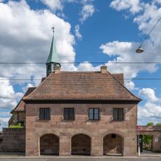
Schulgebäude Äußere Sulzbacher Straße 138 in Nürnberg
129 m
Einfriedung Oedenberger Straße 34 in Nürnberg
808 mVisited this place? Tap the stars to rate it and share your experience / photos with the community! Try now! You can cancel it anytime.
Discover hidden gems everywhere you go!
From secret cafés to breathtaking viewpoints, skip the crowded tourist spots and find places that match your style. Our app makes it easy with voice search, smart filtering, route optimization, and insider tips from travelers worldwide. Download now for the complete mobile experience.

A unique approach to discovering new places❞
— Le Figaro
All the places worth exploring❞
— France Info
A tailor-made excursion in just a few clicks❞
— 20 Minutes