
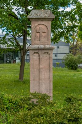
Martersäule, sandstein, um 1500
Location: Nuremberg
Address: Flußstraße/Thumenberger Weg
GPS coordinates: 49.46347,11.12651
Latest update: March 8, 2025 21:33
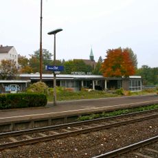
Nürnberg Ost
355 m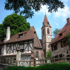
Kirchenberg 15
428 m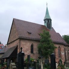
St. Jobst
446 m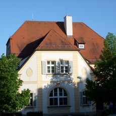
Erlenstegenstraße 18
439 m
Grimmstraße 3
482 m
Kirchenberg 13
452 m
Mögeldorfer Hauptstraße 63
446 m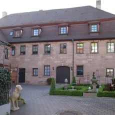
Mögeldorfer Hauptstraße 55
417 m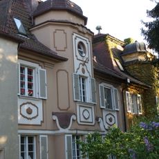
Erlenstegenstraße 16-16a
432 m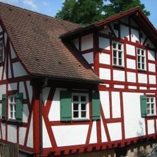
Kirchenberg 5
397 m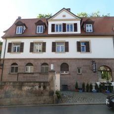
Laufamholzstraße 5
478 m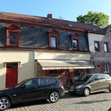
Ziegenstraße 20 (D-5-64-000-2508)
506 m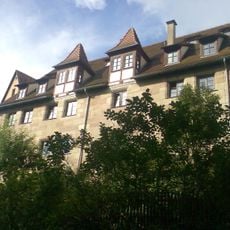
Kirchenberg 9 (D-5-64-000-998)
419 m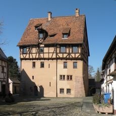
Kirchenberg 7
410 m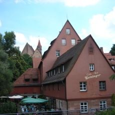
Kirchenberg 1
363 m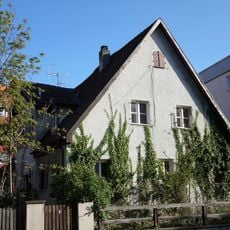
Laufamholzstraße 6 (D-5-64-000-1176)
505 m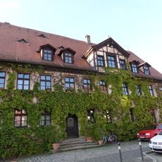
Laufamholzstraße 9
499 m
Ziegenstraße 3-5
457 m
Mögeldorfer Hauptstraße 47
442 m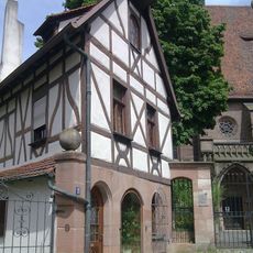
Kirchenberg 11
429 m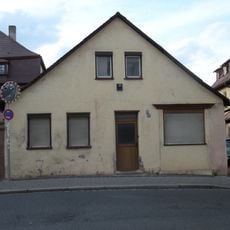
Mögeldorfer Hauptstraße 57
437 m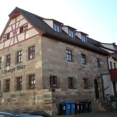
Mögeldorfer Hauptstraße 59
437 m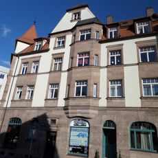
Mögeldorfer Hauptstraße 62
476 m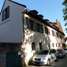
Ziegenstraße 8
486 m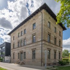
Ehemaliges Bahnhofsgebäude Ostbahnhof-Güterbahnhofs
294 m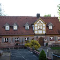
Mögeldorfer Hauptstraße 45
401 m
Ehemaliges Pfarrhaus
406 m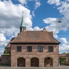
Schulgebäude Äußere Sulzbacher Straße 138 in Nürnberg
464 mReviews
Visited this place? Tap the stars to rate it and share your experience / photos with the community! Try now! You can cancel it anytime.
Discover hidden gems everywhere you go!
From secret cafés to breathtaking viewpoints, skip the crowded tourist spots and find places that match your style. Our app makes it easy with voice search, smart filtering, route optimization, and insider tips from travelers worldwide. Download now for the complete mobile experience.

A unique approach to discovering new places❞
— Le Figaro
All the places worth exploring❞
— France Info
A tailor-made excursion in just a few clicks❞
— 20 Minutes