
Stadel, im Kern wohl 16./17. Jahrhundert, Brockenmauerwerk mit Hausteingewänden und Halbwalmdach
Location: Störnstein
Address: Im Dorf 24
GPS coordinates: 49.72948,12.19742
Latest update: April 8, 2025 21:28
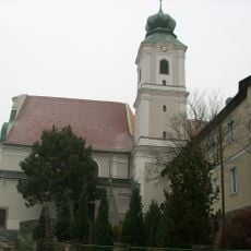
Klosterkirche St. Felix
1.9 km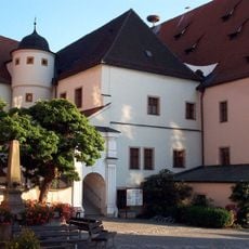
Altes Schloss
1.8 km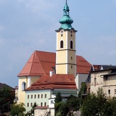
St. Georg (Neustadt an der Waldnaab)
1.9 km
Neues Schloss
1.8 km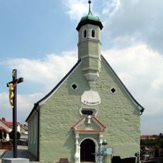
Hl. Dreifaltigkeit Neustadt a.d. Waldnaab
1.6 km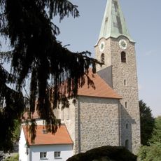
St. Salvator (Störnstein)
869 m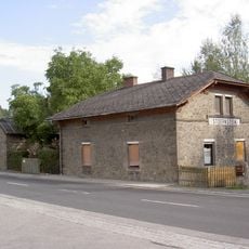
Station building at Störnstein station
1.3 km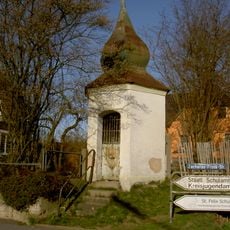
Schallerkapelle
1.9 km
Villa Johann-Dietl-Straße 20
1.4 km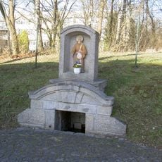
Brunnen mit Bildtafel St. Felix
1.9 km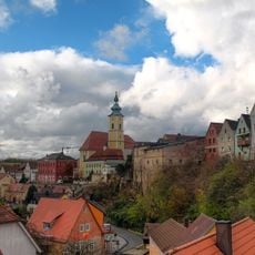
Altstadt von Neustadt a. d. Waldnaab
1.8 km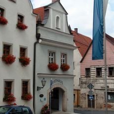
Rathaus Neustadt an der Waldnaab
1.9 km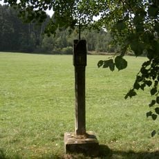
Bildstock Wirrenlohe (Rastenhof)
1.8 km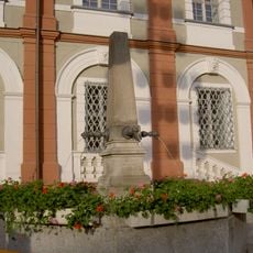
Brunnen
1.8 km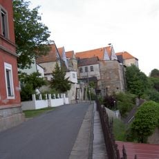
Rückwärtig einbezogenes Reststück der Stadtbefestigung
1.9 km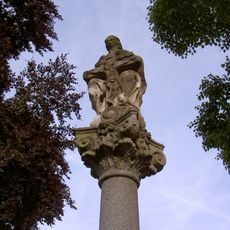
Dreifaltigkeitssäule an der Friedhofsmauer
1.6 km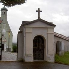
Ädikula an der Friedhofsmauer
1.6 km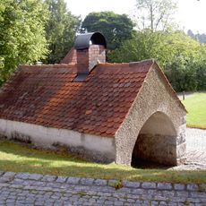
Bakehouse (Störnstein)
844 m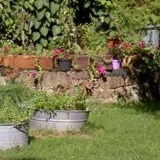
Tiefbrunnen
909 m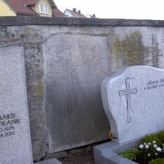
Friedhof
1.6 km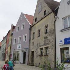
Giebelhaus
1.9 km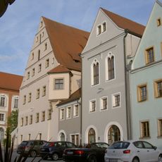
Stadtplatz 34
1.8 km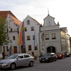
Bürgerhaus
1.9 km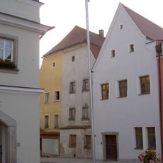
Giebelhaus
1.9 km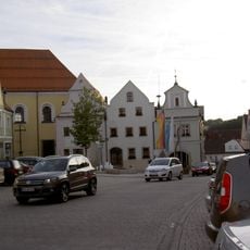
Bürgerhaus
1.9 km
Dreigeschossiges Wohnhaus
1.9 km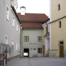
Altes Schulhaus
1.9 km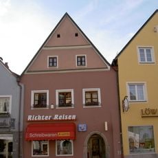
Giebelhaus
1.8 kmReviews
Visited this place? Tap the stars to rate it and share your experience / photos with the community! Try now! You can cancel it anytime.
Discover hidden gems everywhere you go!
From secret cafés to breathtaking viewpoints, skip the crowded tourist spots and find places that match your style. Our app makes it easy with voice search, smart filtering, route optimization, and insider tips from travelers worldwide. Download now for the complete mobile experience.

A unique approach to discovering new places❞
— Le Figaro
All the places worth exploring❞
— France Info
A tailor-made excursion in just a few clicks❞
— 20 Minutes