
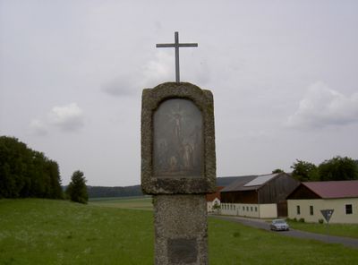
Bildstock an der Lindnermühle
Bildstock an der Lindnermühle, granitschaft mit abgefasten Kanten, Laterne mit korbbogigen Bildnischen, 18./19. Jahrhundert
Location: Waldthurn
Address: Nähe Lindnermühle; Von Frankenrieth nach Albersrieth
GPS coordinates: 49.67326,12.29369
Latest update: March 7, 2025 22:59
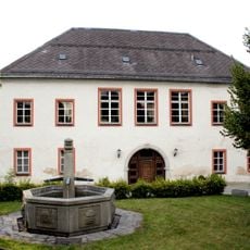
Neues Schloss Waldthurn
2.7 km
St. Sebastian (Waldthurn)
2.7 km
St. Jakob (Lennesrieth)
1.9 km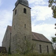
St. Michael (Albersrieth)
304 m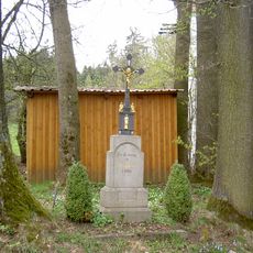
Wegkreuz Schammesrieth
1.4 km
Wegkreuz
1.9 km
Granitkreuz
1.6 km
Wappentafel
2.8 km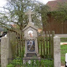
Zeßmannsrieth Kriegerdenkmal
2.3 km
Ehemalige Brauerei
2.5 km
Bildstock
2.5 km
Zeßmannsrieth Wegkreuz
2.3 km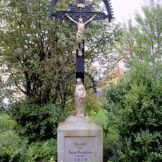
Wegekreuze
584 m
Dorfkreuz
1.5 km
Granitbildstock (Erpetshof)
1.6 km
Bildsäule
2.5 km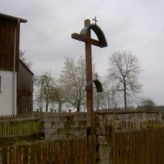
Dorfkreuz Schammesrieth
1.7 km
Waldthurn Schloßgraben 21
2.5 km
Zeßmannsrieth 12
2.2 km
Wohnhaus
2.7 km
Sühnekreuz
2.2 km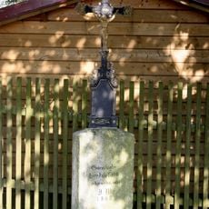
Steinkreuze
2.2 km
Steinkreuz Schammesrieth
1.9 km
Granitkreuz
2 km
Bildstock
1.6 km
Zeßmannsrieth Steinkreuz
2.3 km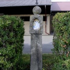
Bildstock
1.3 km
Wohnhaus
2.6 kmReviews
Visited this place? Tap the stars to rate it and share your experience / photos with the community! Try now! You can cancel it anytime.
Discover hidden gems everywhere you go!
From secret cafés to breathtaking viewpoints, skip the crowded tourist spots and find places that match your style. Our app makes it easy with voice search, smart filtering, route optimization, and insider tips from travelers worldwide. Download now for the complete mobile experience.

A unique approach to discovering new places❞
— Le Figaro
All the places worth exploring❞
— France Info
A tailor-made excursion in just a few clicks❞
— 20 Minutes