
Ehemaliges Ackerbürgerhaus, building in Bärnau, Upper Palatinate, Germany
Location: Bärnau
Address: Philipp-Mühlmayer-Straße 1
GPS coordinates: 49.81086,12.43327
Latest update: June 12, 2025 11:04
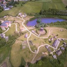
Geschichtspark Bärnau-Tachov
812 m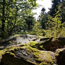
Entenbühl
6.4 km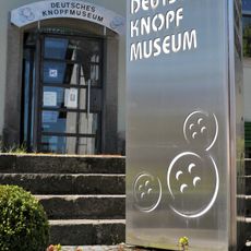
Deutsches Knopfmuseum
18 m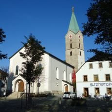
St. Nikolaus
152 m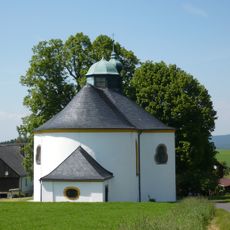
Jakobuskirche
5.3 km
Moorgebiet bei Bärnau
3.5 km
Sankt Nikolaus
1.3 km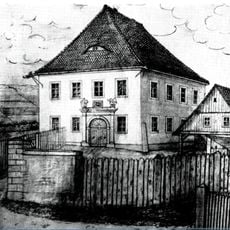
Pflegschloss Bärnau
257 m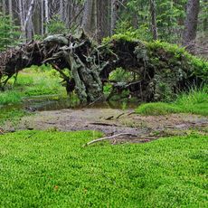
Pavlova Huť Nature Reserve
3.8 km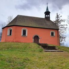
St. Elisabeth
676 m
Šelmberk
6.4 km
Pavlova Huť
3.8 km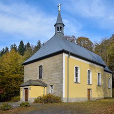
Catholic pilgrimage church to the Flagellated Savior, the so-called Steinberg Church
1.7 km
Kapelle nahe Zentrum
6.8 km
Kaple
6.9 km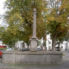
Kriegerdenkmal für die Gefallenen des Ersten Weltkriegs
190 m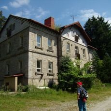
Lovecký zámeček Ostrůvek
6.9 km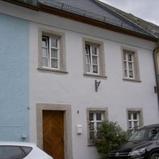
Wohnhaus
111 m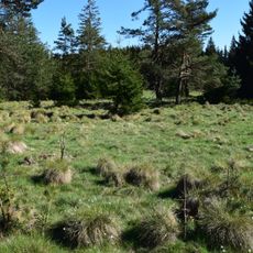
Moorgebiet bei Bärnau
3.5 km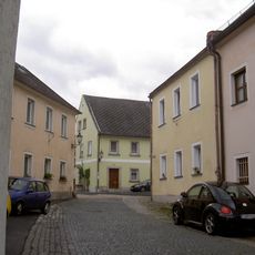
Wohnhaus
91 m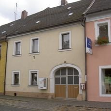
Wohnhaus
155 m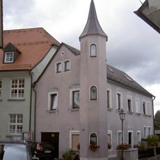
Wohnhaus
142 m
Zweigeschossiger Walmdachbau
110 m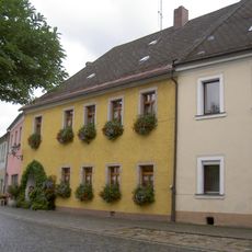
Wohnhaus
148 m
Nepomuk Marktplatz Bärnau
179 m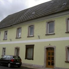
Wohnhaus
95 m
Wohnhaus
119 m
Wohnhaus
131 mReviews
Visited this place? Tap the stars to rate it and share your experience / photos with the community! Try now! You can cancel it anytime.
Discover hidden gems everywhere you go!
From secret cafés to breathtaking viewpoints, skip the crowded tourist spots and find places that match your style. Our app makes it easy with voice search, smart filtering, route optimization, and insider tips from travelers worldwide. Download now for the complete mobile experience.

A unique approach to discovering new places❞
— Le Figaro
All the places worth exploring❞
— France Info
A tailor-made excursion in just a few clicks❞
— 20 Minutes