
Stadelreihe, erste Hälfte 19. Jahrhundert, einer bezeichnet „1825“, Bruchsteinmauerwerk, teilweise umgebaut
Location: Floß
Address: Püchersreuther Straße 31
GPS coordinates: 49.72697,12.27401
Latest update: March 5, 2025 07:44
Podewilshaus Floß
344 m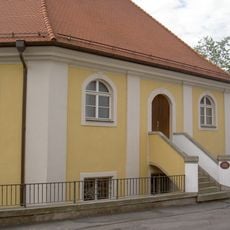
Synagoge (Floß)
214 m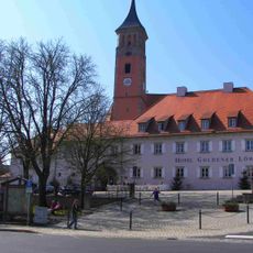
Floß Marktplatz 2
391 m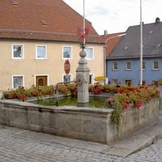
Floß Marktplatz Brunnen
370 m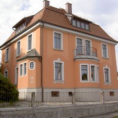
Riebl-Villa
232 m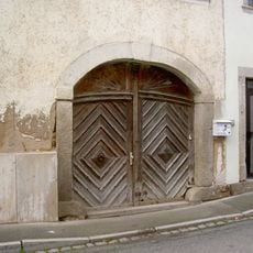
Torbogen
264 m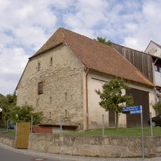
Stadel
280 m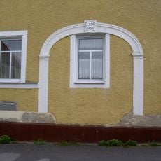
Steintorbogen
187 m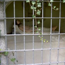
Heiliges Grab Nikolausberg Floß
318 m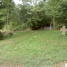
Steinkreuze Nikolausberg Floß
309 m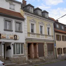
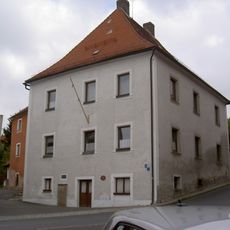
Wohn- und Geschäftshaus
304 m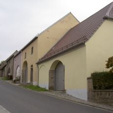
Stadelreihe
311 m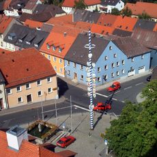
Ensemble Ortskern Floß (Upper Palatinate)
354 m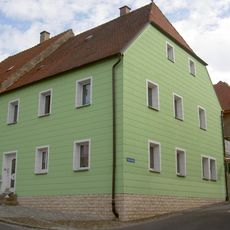
Wohnhaus
334 m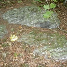
Serpentinithügel St. Nikolaus bei Floß
347 m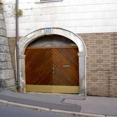
Granittorbogen
371 m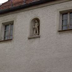
Nischenfigur
367 m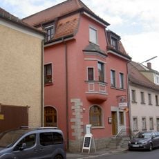
Wohn- und Geschäftshaus
325 m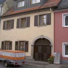
Wohnhaus
294 m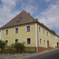
Wohnhaus
289 m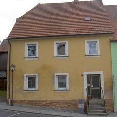
Wohnhaus
330 m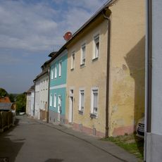
Ensemble ehemaliges Judenviertel in Floß (Upper Palatinate)
173 m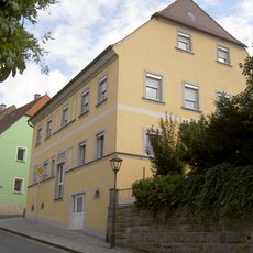
Wohnhaus
343 m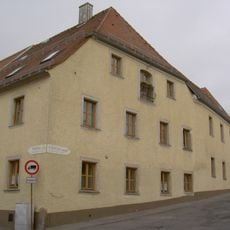
Wohn- und Wirtschaftsgebäude
172 m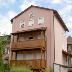
Floß Mühlgraben 14 Haberstumpfmühle
384 m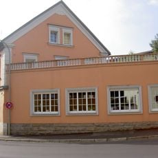
Wohnhaus
244 m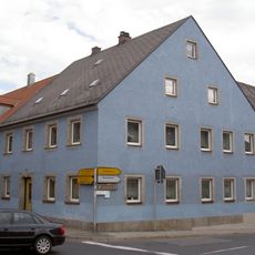
Wohnhaus
344 m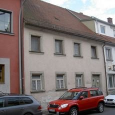
Wohnhaus
317 mReviews
Visited this place? Tap the stars to rate it and share your experience / photos with the community! Try now! You can cancel it anytime.
Discover hidden gems everywhere you go!
From secret cafés to breathtaking viewpoints, skip the crowded tourist spots and find places that match your style. Our app makes it easy with voice search, smart filtering, route optimization, and insider tips from travelers worldwide. Download now for the complete mobile experience.

A unique approach to discovering new places❞
— Le Figaro
All the places worth exploring❞
— France Info
A tailor-made excursion in just a few clicks❞
— 20 Minutes