
Stadelreihe, erste Hälfte 19. Jahrhundert, einer bezeichnet „1812“, ein anderer bezeichnet „1832“
Location: Floß
Address: Schönbrunner Straße 10; Schönbrunner Straße 12; Schönbrunner Straße 14; Schönbrunner Straße 16; Schönbrunner Straße 18; Schönbrunner Straße 20; Schönbrunner Straße 22; Schönbrunner Weg 3
GPS coordinates: 49.72354,12.28201
Latest update: March 31, 2025 13:41
Podewilshaus Floß
362 m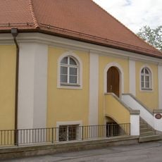
Synagoge (Floß)
483 m
Katholische Pfarrkirche
293 m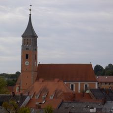
Evangelische Pfarrkirche (Floß)
448 m
Pflegschloss Floß
188 m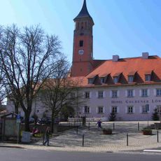
Floß Marktplatz 2
436 m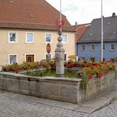
Floß Marktplatz Brunnen
441 m
Brunnen Wiedenbrunnenweg Floß
256 m
Brunnen
360 m
Floß Luitpoldplatz 2
390 m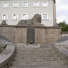
Kriegerdenkmal
399 m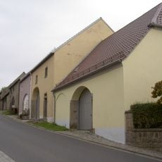
Stadelreihe
412 m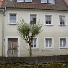
Haustür
311 m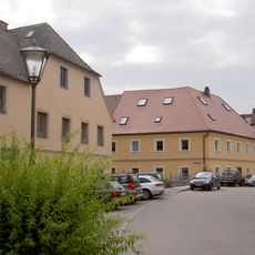
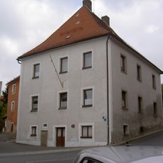
Wohnhaus
323 m
Alter Pfarrhof
422 m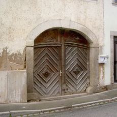
Torbogen
430 m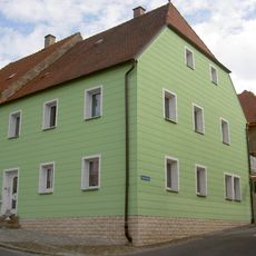
Wohnhaus
358 m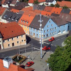
Ensemble Ortskern Floß (Upper Palatinate)
434 m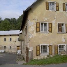
Ehemalige Mühle
463 m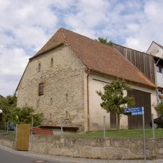
Stadel
430 m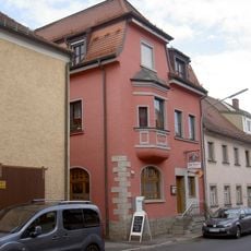
Wohn- und Geschäftshaus
472 m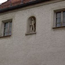
Nischenfigur
352 m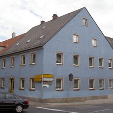
Wohnhaus
434 m
Wohnhaus
411 m
Wohnhaus
362 m
Wohnhaus
351 m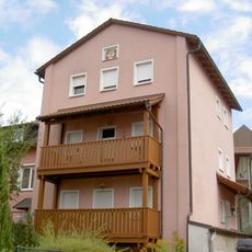
Floß Mühlgraben 14 Haberstumpfmühle
328 m
Holztür
132 mReviews
Visited this place? Tap the stars to rate it and share your experience / photos with the community! Try now! You can cancel it anytime.
Discover hidden gems everywhere you go!
From secret cafés to breathtaking viewpoints, skip the crowded tourist spots and find places that match your style. Our app makes it easy with voice search, smart filtering, route optimization, and insider tips from travelers worldwide. Download now for the complete mobile experience.

A unique approach to discovering new places❞
— Le Figaro
All the places worth exploring❞
— France Info
A tailor-made excursion in just a few clicks❞
— 20 Minutes