
Steinkreuz, mit ausgehauenen Zeichen Zahnrad und Hammer, nachmittelalterlich
Location: Waidhaus
Address: Am Feldweg nach Ödkührieth
GPS coordinates: 49.64173,12.49626
Latest update: April 8, 2025 21:49
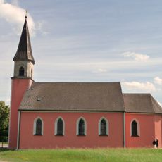
Hl. Dreifaltigkeit
534 m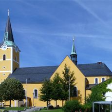
Saint Emmeram of Regensburg Church
20 m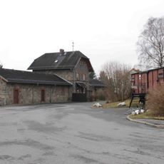
Station building at Waidhaus station
226 m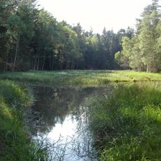
Jezírka u Rozvadova
3.9 km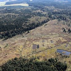
Torflohe und Pfrentschwiese
5 km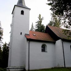
St. Ulrich (Burkhardsrieth)
3.2 km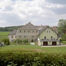
Schloss Frankenreuth
1.1 km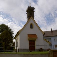
Dorfkapelle
2.8 km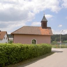
Nepomukkapelle
1.2 km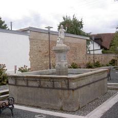
Floriansbrunnen Waidhaus
242 m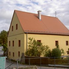
Fürstenhaus Pfrentsch
2.8 km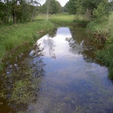
Pfreimd und Lois-Bach
5.2 km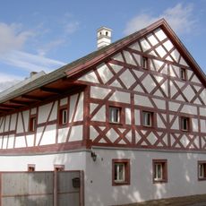
Gasthaus Pfrentsch
2.7 km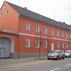
Einfahrttor
117 m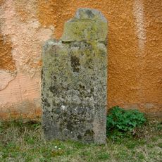
Grabsteine bei der St. Emmeramkirche
362 m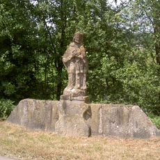
Nepomuk östlicher Ortsrand Waidhaus
648 m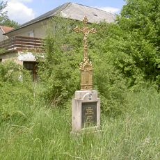
Wegkreuz (Frankenreuth)
1.5 km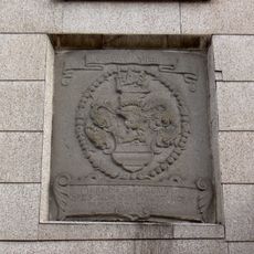
Wappenstein Hauptstraße 6
186 m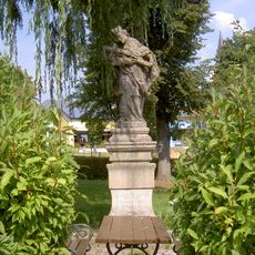
Heiligenfigur
138 m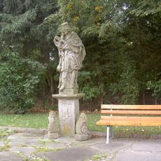
Nepomuk Eslarner Straße Waidhaus
492 m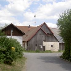
Stallstadel
4.4 km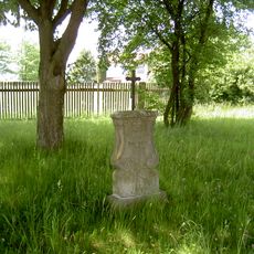
Wegkreuz
1.1 km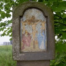
Bildstock
4.8 km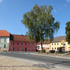
Ensemble Hauptstraße und Marktplatz Waidhaus
0 m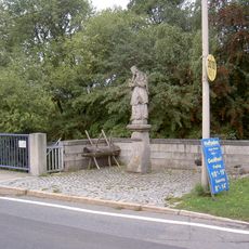
Nepomuk Pfrentsch
2.6 km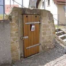
Felsenkeller
2.5 km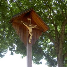
Holzkreuz
679 m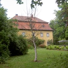
Forsthaus (Waidhaus)
689 mReviews
Visited this place? Tap the stars to rate it and share your experience / photos with the community! Try now! You can cancel it anytime.
Discover hidden gems everywhere you go!
From secret cafés to breathtaking viewpoints, skip the crowded tourist spots and find places that match your style. Our app makes it easy with voice search, smart filtering, route optimization, and insider tips from travelers worldwide. Download now for the complete mobile experience.

A unique approach to discovering new places❞
— Le Figaro
All the places worth exploring❞
— France Info
A tailor-made excursion in just a few clicks❞
— 20 Minutes