
Stadel, giebelständiger Blockbau mit Satteldach und Verbretterung, 16./17. Jahrhundert
Location: Beratzhausen
Address: Nähe Essenbügl
GPS coordinates: 49.09634,11.81052
Latest update: April 3, 2025 17:59

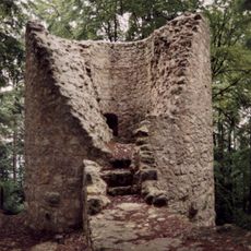
Burg Ehrenfels
1.9 km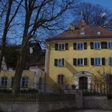
Schloss Laufenthal
3.5 km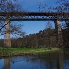
Beratzhausen railway bridge
1.1 km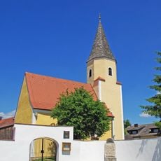
St. Andreas - Schwarzenthonhausen
3.9 km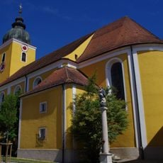
St. Peter und Paul (Beratzhausen)
264 m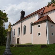
Wallfahrtskirche Maria-Hilf (Beratzhausen)
168 m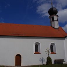
Katholische Filialkirche St. Nikolaus
4.1 km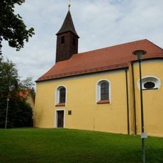
St. Thekla
3.9 km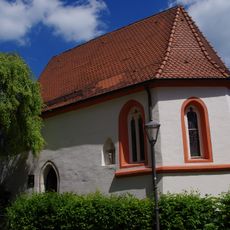
St. Michael
267 m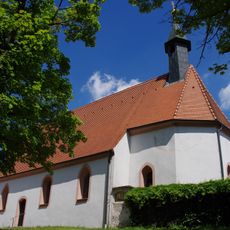
St. Sebastian
537 m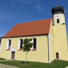
St. Ottilia (Laufenthal)
3.5 km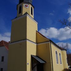
St. Jakobus der Ältere
3.1 km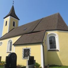
Mariä Geburt (Endorf)
4.7 km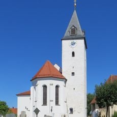
St. Georg
4.9 km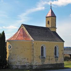
Mariä Heimsuchung
4.3 km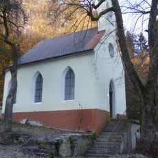
Kapelle St. Anna
2.2 km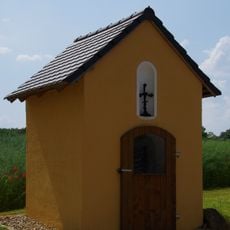
Wegkapelle
3.4 km
Cultural heritage D-3-6836-0019 in Beratzhausen
2.8 km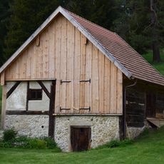
Scheune Nähe Königsmühle in Beratzhausen
4 km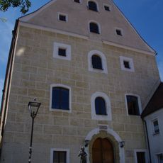
Ehemaliger Zehentstadel
324 m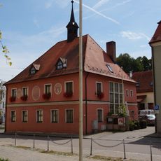
Rathaus
261 m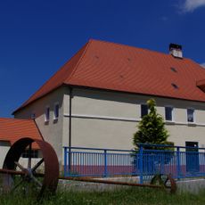
Mühle
3.9 km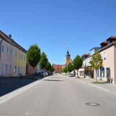
Ensemble Marktstraße
181 m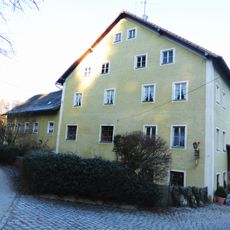
Gasthaus Hammermühle
2.2 km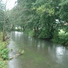
Schwarze Laaber
1.4 km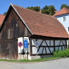
Stadel
20 m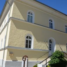
Kath Pfarrhaus
236 m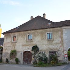
Wohnhaus
322 mReviews
Visited this place? Tap the stars to rate it and share your experience / photos with the community! Try now! You can cancel it anytime.
Discover hidden gems everywhere you go!
From secret cafés to breathtaking viewpoints, skip the crowded tourist spots and find places that match your style. Our app makes it easy with voice search, smart filtering, route optimization, and insider tips from travelers worldwide. Download now for the complete mobile experience.

A unique approach to discovering new places❞
— Le Figaro
All the places worth exploring❞
— France Info
A tailor-made excursion in just a few clicks❞
— 20 Minutes