
Kilometerstein, granitquader mit abgeschrägtem Abschluss und Inschriften; wohl zweite Hälfte 19. Jahrhundert
Location: Kohlberg
Address: Geiselberg
GPS coordinates: 49.58661,12.01840
Latest update: September 21, 2025 18:19
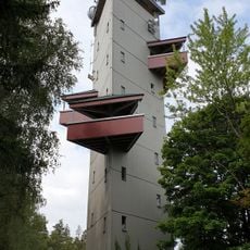
Rödlasturm
4.9 km
St. Vitus
4.6 km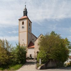
Pfarrkirche Ehenfeld
5.4 km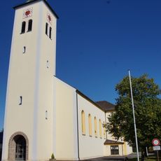
Heilige Familie (Weiherhammer)
5.8 km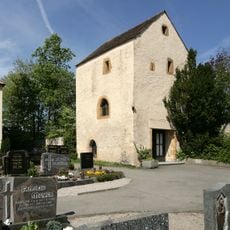
Wehrkirche Ehenfeld
5.4 km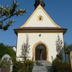
Dorfkirche St. Josef Massenricht
5 km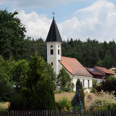
St. Wolfgang
5.2 km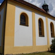
St. Barbara (Neudorf bei Luhe)
5.6 km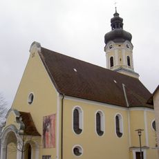
Herz-Jesu-Kirche
328 m
St. Nikolaus (Kohlberg, Upper Palatinate)
561 m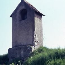
Micherlmarterl
5.2 km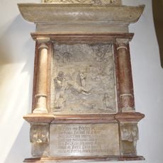
Epitaph of Kastner in St. Vitus (Schnaittenbach)
4.6 km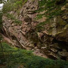
Mühlsteinbruch W von Massenricht
6 km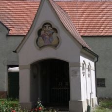
Lourdeskapelle
4.6 km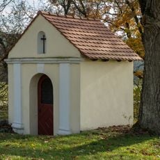
Kapelle Heillige Dreifaltigkeit
3.4 km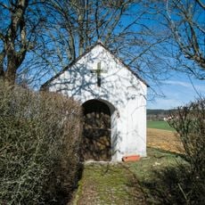
Marienkapelle
5.5 km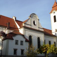
Katholische Pfarrkirche St. Vitus
4.6 km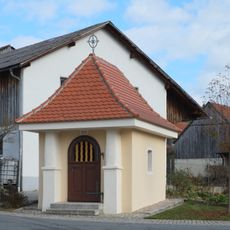
Kapelle Zum gegeißelten Heiland
5.4 km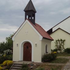
Kapelle Rödlas
4.7 km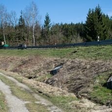
Sperranlage Hirschau
5.9 km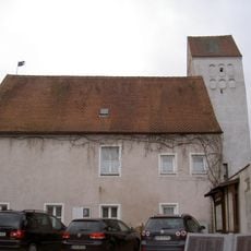
Altes Schulhaus
538 m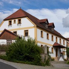
Wohnstallbau
5.4 km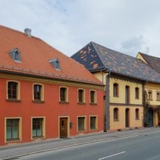
Ensemble Ortskern Schnaittenbach
5 km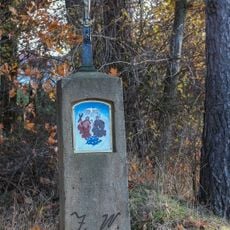
Bildstock
5.4 km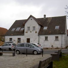
Kohlberg Upper Palatinate Marktplatz 5
488 m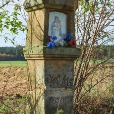
Sandsteinmarterl
5.6 km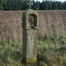
Sandsteinbildstock
5.7 km
Pestmarterl
5.5 kmReviews
Visited this place? Tap the stars to rate it and share your experience / photos with the community! Try now! You can cancel it anytime.
Discover hidden gems everywhere you go!
From secret cafés to breathtaking viewpoints, skip the crowded tourist spots and find places that match your style. Our app makes it easy with voice search, smart filtering, route optimization, and insider tips from travelers worldwide. Download now for the complete mobile experience.

A unique approach to discovering new places❞
— Le Figaro
All the places worth exploring❞
— France Info
A tailor-made excursion in just a few clicks❞
— 20 Minutes