
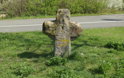
Steinkreuz, Sandstein, vielleicht Ende 16. Jahrhundert
Location: Fürth
Address: Am Kieselbühl
GPS coordinates: 49.48574,10.94921
Latest update: March 10, 2025 08:53
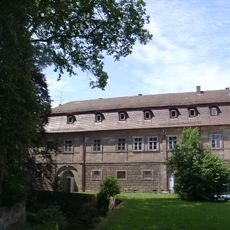
Schloß Burgfarrnbach
1.6 km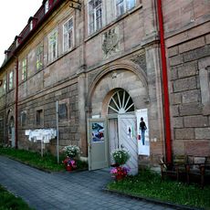
Museum Frauenkultur
1.7 km
St. Johannis (Burgfarrnbach)
1.7 km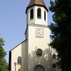
St. Martin
1.8 km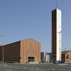
Christkönig
1.5 km
Friedhof Burgfarrnbach
1.6 km
Talzug Heidestraße
1.2 km
Evangelisch-Lutherisches Pfarrhaus
1.7 km
Ehemaliges Schulhaus
1.8 km
Gasthaus Rotes Ross
621 m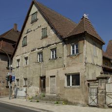
Würzburger Straße 486
1.8 km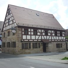
Ehemaliges Bauernhaus, jetzt Gasthaus
535 m
Gasthaus zum Deutschen Haus
1.8 km
Burgfarrnbacher Viadukt
1.3 km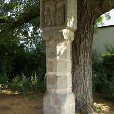
Rote Marter
1.5 km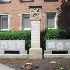
Kriegerdenkmal
459 m
Kriegerdenkmal
1.7 km
Wohnstallhaus
557 m
Ehemalige Schule
1.8 km
Wohnhaus
561 m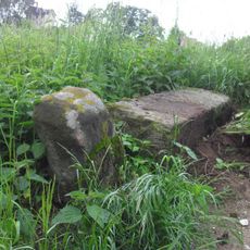
Grenzstein
1.3 km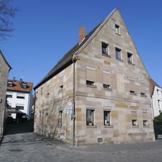
Schloßweg 1
1.7 km
Gasthof Zur Krone
1.7 km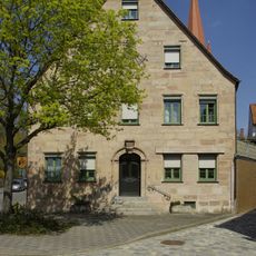
Regelsbacher Straße 17
1.7 km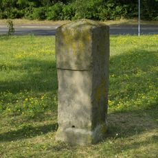
Luisenstein
1 km
Marstall oder Neuer Bau
1.7 km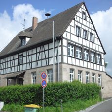
Schulhaus
493 m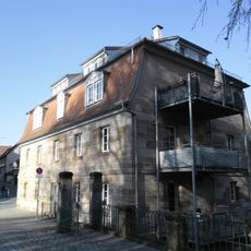
Meierei
1.6 kmReviews
Visited this place? Tap the stars to rate it and share your experience / photos with the community! Try now! You can cancel it anytime.
Discover hidden gems everywhere you go!
From secret cafés to breathtaking viewpoints, skip the crowded tourist spots and find places that match your style. Our app makes it easy with voice search, smart filtering, route optimization, and insider tips from travelers worldwide. Download now for the complete mobile experience.

A unique approach to discovering new places❞
— Le Figaro
All the places worth exploring❞
— France Info
A tailor-made excursion in just a few clicks❞
— 20 Minutes