
Steinkreuz, steinkreuz, mit Wappenrelief, Granit, wohl mittelalterlich; am nordwestlichen Waldrand der Waldabteilung Buchberg
Location: Oberviechtach
Address: Bergacker, am nordwestlichen Waldrand der Waldabteilung Buchberg
GPS coordinates: 49.48357,12.47037
Latest update: April 8, 2025 21:35
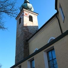
St. Johannes der Täufer
4.5 km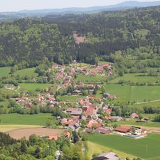
Gaisthal
2.4 km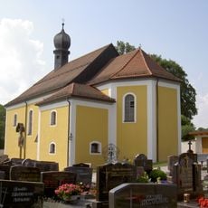
St. Vitus
3.8 km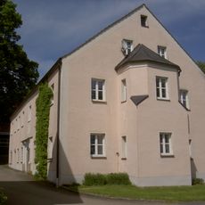
Hammerschloss
3.9 km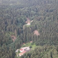
Rosenhof (Schönsee)
3 km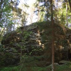
Burgstall Wutzelstein
4.1 km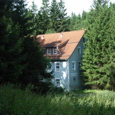
Rosenthal
3.7 km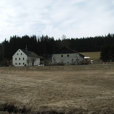
Ehemaliges Hammerherrenhaus, dann Mühle, sogenannte Mollermühle, bis 1937 Spiegelglasschleife
4.6 km
St. Bartholomäus
3.3 km
St. Wolfgang
3.7 km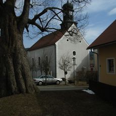
St. Laurentius
2.2 km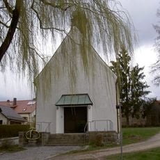
Marienkapelle Oberviechtach
4.2 km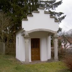
Ebnerkapelle Oberviechtach
4.6 km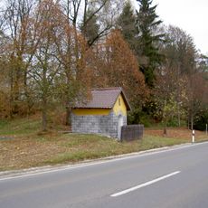
Wegkapelle, sogenannte Neulederer-Kapelle
3.5 km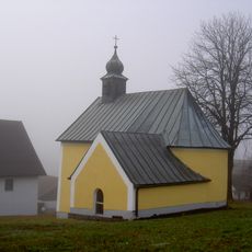
Dorfkapelle Mariä Himmelfahrt
4.3 km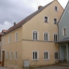
Satteldachhaus
4.5 km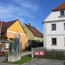
Ehemalige Marktmühle, seit 2006 Doktor-Eisenbarth- und Stadtmuseum
4.5 km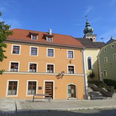
Ehemaliges Lebzelterhaus
4.5 km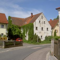
Wohnhaus
3.9 km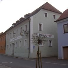
Ehemaliger Gasthof Zum Schwan,
4.6 km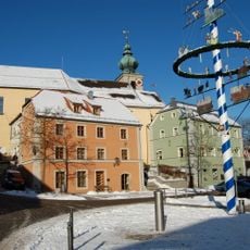
Apotheke
4.5 km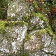
Lenkenhammerfels WSW von Muggenthal
4.2 km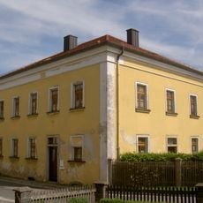
Forstdienststelle
3.9 km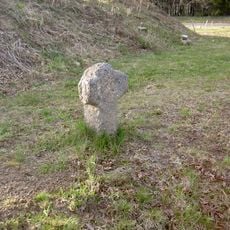
Steinkreuz Lind
2 km
Gasthof
4.6 km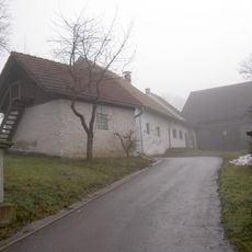
Wohnhaus, sogenannter Seinger-Hof
4.2 km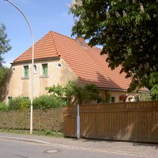
Wohnstallhaus
3.8 km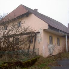
Wohnstallhaus
4 kmReviews
Visited this place? Tap the stars to rate it and share your experience / photos with the community! Try now! You can cancel it anytime.
Discover hidden gems everywhere you go!
From secret cafés to breathtaking viewpoints, skip the crowded tourist spots and find places that match your style. Our app makes it easy with voice search, smart filtering, route optimization, and insider tips from travelers worldwide. Download now for the complete mobile experience.

A unique approach to discovering new places❞
— Le Figaro
All the places worth exploring❞
— France Info
A tailor-made excursion in just a few clicks❞
— 20 Minutes