
Stadtpark, Park in Fürth, im Bereich zwischen Nürnberger Straße bzw. Otto-Seeling-Promenade im Süden und der Pegnitz im Norden, angelegt ab 1867, mehrfach umgestaltet und erweitert, 1910/11 von Stadtbaurat Otto Holzer und Garteninspektor Alfred Babée
Location: Fürth
Address: Otto-Seeling-Promenade
GPS coordinates: 49.47316,10.99797
Latest update: April 10, 2025 04:39

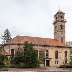
Auferstehungskirche
216 m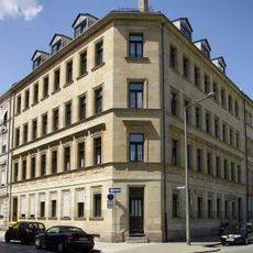
Mietshaus in Ecklage, ehemals mit Gaststätte „Zum Stadtpark“
174 m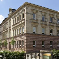
Maischule
269 m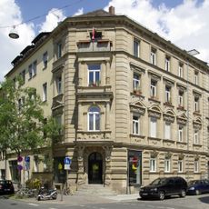
Nürnberger Straße 31
278 m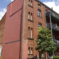
Nürnberger Straße 37-37d
266 m
Mietshaus
245 m
Sommerstraße 9
209 m
Goethestraße 18
149 m
Sommerstraße 11
197 m
Goethestraße 5
187 m
Mietshaus
187 m
Sommerstraße 3
247 m
Sommerstraße 1
262 m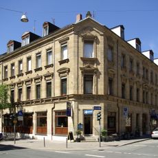
Nürnberger Straße 25 (Fürth)
247 m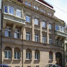
Ehemaliges Verwaltungsgebäude der Deutschen Tafelglas AG
238 m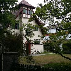
Stadtgärtnerei
266 m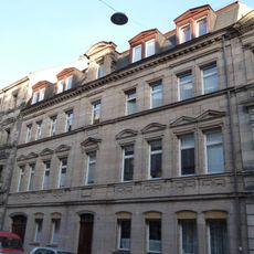
Mietshaus
272 m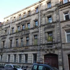
Mietshaus mit Gaststätte
259 m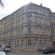
Mietshaus in Ecklage
143 m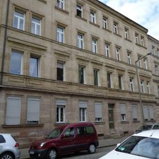
Mietshaus
157 m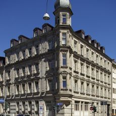
Nürnberger Straße 27
257 m
Wohnhaus
241 m
Sommerstraße 7
221 m
Ehemaliges Fabrikgebäude in Ecklage
197 m
Goethestraße 1
220 m
Doppelmietshaus
219 m
Goethestraße 11
144 m
Mietshaus
234 mReviews
Visited this place? Tap the stars to rate it and share your experience / photos with the community! Try now! You can cancel it anytime.
Discover hidden gems everywhere you go!
From secret cafés to breathtaking viewpoints, skip the crowded tourist spots and find places that match your style. Our app makes it easy with voice search, smart filtering, route optimization, and insider tips from travelers worldwide. Download now for the complete mobile experience.

A unique approach to discovering new places❞
— Le Figaro
All the places worth exploring❞
— France Info
A tailor-made excursion in just a few clicks❞
— 20 Minutes