
Bildstock, wohl 18./19. Jahrhundert; an der Danzlwiese
Location: Tännesberg
Address: Burswinkelweg; Mitterbergweg
GPS coordinates: 49.53384,12.33957
Latest update: June 5, 2025 20:27
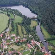
Trausnitz Reservoir
4.6 km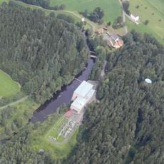
Tanzmühle power station
4.7 km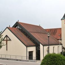
Expositurkirche Maria Magdalena, Gleiritsch
4.3 km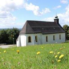
Wallfahrtskirche St. Jodok
808 m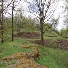
Burgstall Tännesberg
725 m
Schlossberg
753 m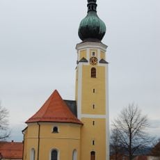
Pfarrkirche St. Michael
1.1 km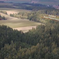
Burgstall Gleiritsch
4.4 km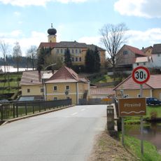
Hammer Böhmischbruck
4.5 km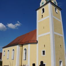
Mariä Heimsuchung (Pirk)
4.7 km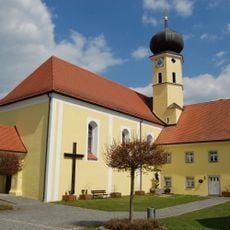
Maria Himmelfahrt (Böhmischbruck)
4.7 km
Marktplatz Tännesberg
1 km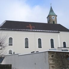
St. Georg
4.2 km
St. Peter und Paul
4.5 km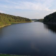
LSG innerhalb des Naturparks Nördlicher Oberpfälzer Wald (ehemals Schutzzone)
1.7 km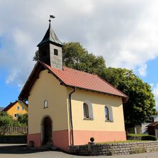
Pilchau
2.1 km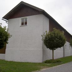
Stall der Propstei Böhmischbruck
4.6 km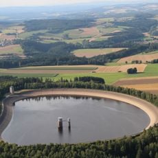
Rabenleite Reservoir
3.4 km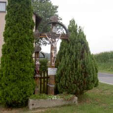
Kruzifix
3.9 km
Schaftbildstock
4.1 km
Wegkreuz und Totenbretter
3.9 km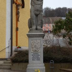
Kriegerdenkmal
1.1 km
Steinkreuz
4.2 km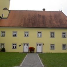
Pfarrhof
4.7 km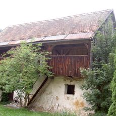
Stall
4.8 km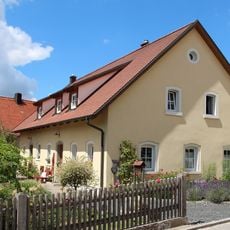
Gleiritsch Hauptstraße 6
4.4 km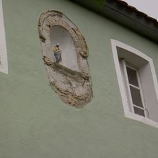
Hausfigur St. Georg (Etzgersrieth)
4.4 km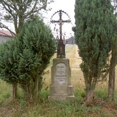
Wegkreuz
3.8 kmReviews
Visited this place? Tap the stars to rate it and share your experience / photos with the community! Try now! You can cancel it anytime.
Discover hidden gems everywhere you go!
From secret cafés to breathtaking viewpoints, skip the crowded tourist spots and find places that match your style. Our app makes it easy with voice search, smart filtering, route optimization, and insider tips from travelers worldwide. Download now for the complete mobile experience.

A unique approach to discovering new places❞
— Le Figaro
All the places worth exploring❞
— France Info
A tailor-made excursion in just a few clicks❞
— 20 Minutes