
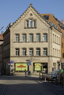
Ludwig-Erhard-Straße 13, building in Fürth, Middle Franconia, Germany
Location: Fürth
Address: Ludwig-Erhard-Straße 13
GPS coordinates: 49.47732,10.98825
Latest update: April 1, 2025 08:21
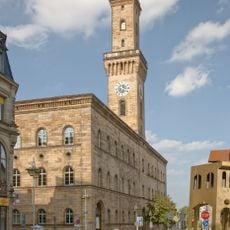
Fürth Crime Museum
64 m
Gartenstraße 8
47 m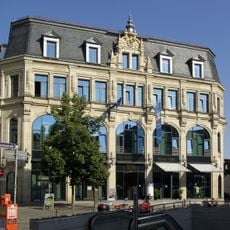
Kaufhaus Tietz
69 m
Ehemalige Armen- und Waisenschule
99 m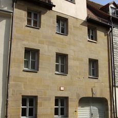
Wohnhaus
48 m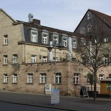
Gasthof Schwarzes Kreuz
96 m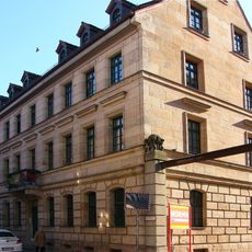
Gartenstraße 9
65 m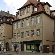
Königstraße 77 (Fürth)
91 m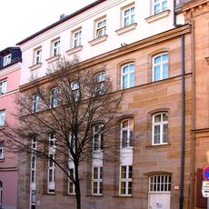
Gartenstraße 13-13a
102 m
Königstraße 79
93 m
Königstraße 82
51 m
Wohnhaus
79 m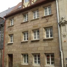
Wohnhaus
61 m
Königstraße 69
107 m
Ehemalige Grüner-Bräu, ehemaliges Brauerei- und Wohngebäude
61 m
Ludwig-Erhard-Straße 1
59 m
Gartenstraße 11-11a (Fürth)
75 m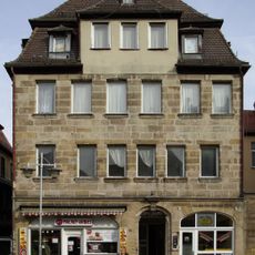
Königstraße 75
93 m
Königstraße 73
98 m
Wohnhaus in Ecklage
109 m
Wohnhaus
54 m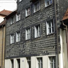
Wohnhaus
45 m
Wohn- und Geschäftshaus
24 m
Wohnhaus
66 m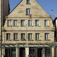
Ehemalige Gaststätte „Zum Schwarzen Rappen“, jetzt Wohnhaus
53 m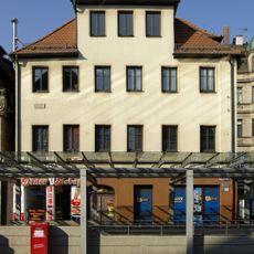
Wohnhaus in Ecklage
59 m
Ehemaliges Doppelwohnhaus, jetzt städtisches Amtshaus
99 m
Königstraße 71 (Fürth)
100 mReviews
Visited this place? Tap the stars to rate it and share your experience / photos with the community! Try now! You can cancel it anytime.
Discover hidden gems everywhere you go!
From secret cafés to breathtaking viewpoints, skip the crowded tourist spots and find places that match your style. Our app makes it easy with voice search, smart filtering, route optimization, and insider tips from travelers worldwide. Download now for the complete mobile experience.

A unique approach to discovering new places❞
— Le Figaro
All the places worth exploring❞
— France Info
A tailor-made excursion in just a few clicks❞
— 20 Minutes