
Steinsäule, stele mit Laterne, beidseitig mit reliefierten Kreuzen, Granit, Anfang 17. Jahrhundert; an der Straße nach Untersteinbach, bei der Abzweigung Naabweg
Location: Pfreimd
Address: Nähe Naabweg
GPS coordinates: 49.48725,12.17196
Latest update: April 16, 2025 18:44
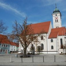
Mariä Himmelfahrt
928 m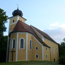
Wallfahrtskirche St. Barbara
1.3 km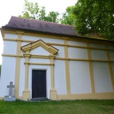
Unsere Liebe Frau
1.3 km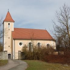
St. Martin
2.4 km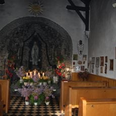
Kapelle mit Lourdesgrotte
1.2 km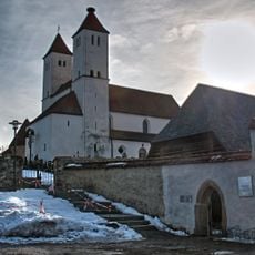
St. Peter und Paul
2.3 km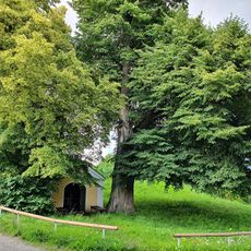
St. Joseph's Chapel in Nabburg (Bavaria)
2.8 km
Feldkapelle
932 m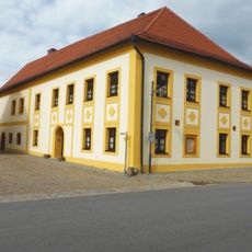
Pfreimd (Freyung 19)
1.2 km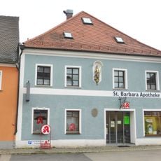
Ehemaliger Gasthof Zum Schwan
1.1 km
Edelmannshof Perschen
2.3 km
Sogenannter Turmmaurerturm, ehemaliger Wehrturm der mittelalterlichen Stadtbefestigung, heute Museum
863 m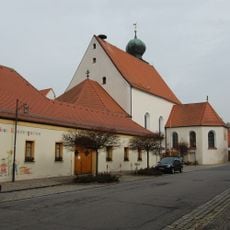
Kirche und ehemaliges Kloster der Franziskaner
1.3 km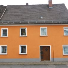
Sogenanntes Stefflchristoph-Haus
1.1 km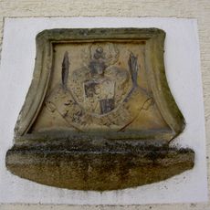
Wappentafel
3.4 km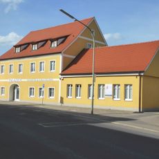
Ehemaliger Gasthof Zum Platzl
1.1 km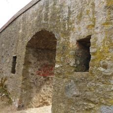
Stadtbefestigung
3.5 km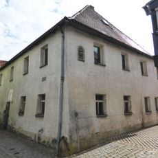
Wohnhaus
801 m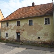
Wohnhaus, sogenanntes Botengörglhaus
829 m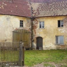
Ehemaliges Burggütl mit Stallgebäude
778 m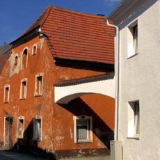
Wohnhaus
965 m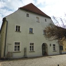
Wohnhaus, sogenanntes Pappenbergerhaus bzw. sogenannte Alte Kanzlei
879 m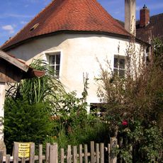
Ehemaliger Wehrturm, sogenannter Judenturm, heute Wohnhaus
783 m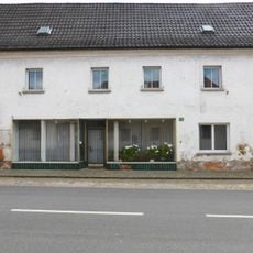
Bürgerspital
1.3 km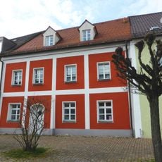
Wohnhaus
1.1 km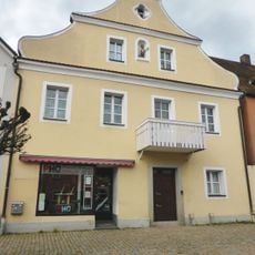
Wohn- und Geschäftshaus
1.1 km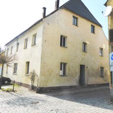
Wohnhaus
899 m
In der Freyung
1.1 kmReviews
Visited this place? Tap the stars to rate it and share your experience / photos with the community! Try now! You can cancel it anytime.
Discover hidden gems everywhere you go!
From secret cafés to breathtaking viewpoints, skip the crowded tourist spots and find places that match your style. Our app makes it easy with voice search, smart filtering, route optimization, and insider tips from travelers worldwide. Download now for the complete mobile experience.

A unique approach to discovering new places❞
— Le Figaro
All the places worth exploring❞
— France Info
A tailor-made excursion in just a few clicks❞
— 20 Minutes