
Wohnhaus, building in Passau, Lower Bavaria, Germany
Location: Passau
Address: Angerstraße 43
GPS coordinates: 48.57790,13.46208
Latest update: March 9, 2025 04:50
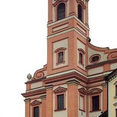
St. Paul, Passau
270 m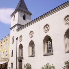
Spitalkirche
244 m
Rindermarkt 4
229 m
Roßtränke 12
297 m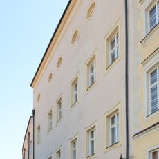
Steinweg 11
313 m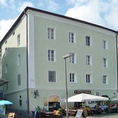
Kastnergasse 2
262 m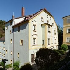
Steinweg 12
314 m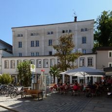
Rindermark 9
288 m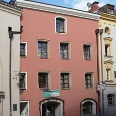
Rindermarkt 10
235 m
Rindermarkt 14
253 m
Ehemaliger Kanonikatshof, sogenannter Rechberghof, nach der Säkularisation Gerichtsgebäude, 1830–1895 Königliches Forstamt
306 m
Heuwinkel 4
297 m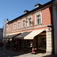
Steinweg 16
264 m
Roßtränke 9 (Passau)
312 m
Höllgasse 28
303 m
Steinweg 9
320 m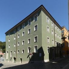
Roßtränke 6
280 m
Heuwinkel 6
317 m
Steinweg 13
289 m
Steinweg 14
310 m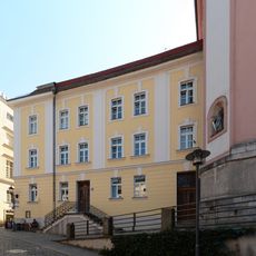
Steinweg 15 (Passau)
284 m
Rindermarkt 16
281 m
Steinweg 16a (Passau)
276 m
Gasthaus zum Tiroler, 1558–1775 Bürgerspital, seit 1844 Wirtshaus
315 m
Wohn- und Geschäftshaus
298 m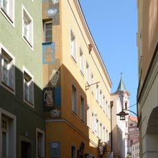
Brauereigasthof Peschlbräu
260 m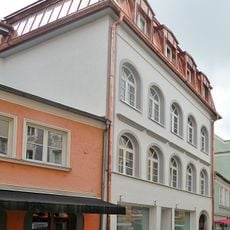
Wohn- und Geschäftshaus
317 m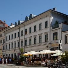
Rindermark 7 (Passau)
264 mReviews
Visited this place? Tap the stars to rate it and share your experience / photos with the community! Try now! You can cancel it anytime.
Discover hidden gems everywhere you go!
From secret cafés to breathtaking viewpoints, skip the crowded tourist spots and find places that match your style. Our app makes it easy with voice search, smart filtering, route optimization, and insider tips from travelers worldwide. Download now for the complete mobile experience.

A unique approach to discovering new places❞
— Le Figaro
All the places worth exploring❞
— France Info
A tailor-made excursion in just a few clicks❞
— 20 Minutes