
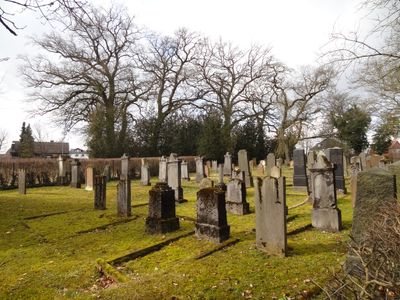
Jüdischer Friedhof
Location: Hungen
Address: Am Judenfriedhof
GPS coordinates: 50.47176,8.89908
Latest update: March 14, 2025 14:35
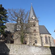
Evangelische Stadtkirche Hungen
336 m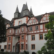
Schloss Hungen
283 m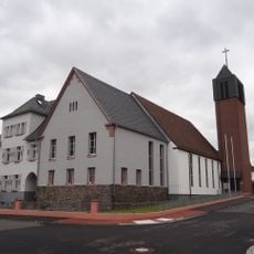
St. Andreas
504 m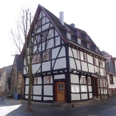
Bitzenstraße 34-36
432 m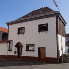
Bitzenstraße 38 (Hungen)
413 m
Schlossgasse 4
380 m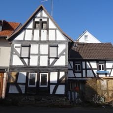
Bitzenstraße 11
397 m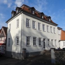
Schlossgasse 6
367 m
Obertorstraße 13
395 m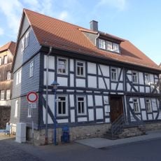
Brauhofstraße 8
529 m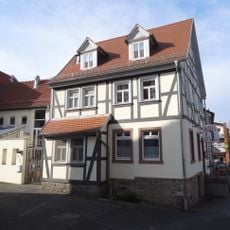
Liebfrauenberg 3-5
392 m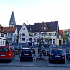
Gesamtanlage historische Altstadt
237 m
Gesamtanlage Robert-Koch-Straße 15-25
437 m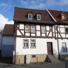
Obertorstraße 33
413 m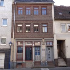
Obertorstraße 25
412 m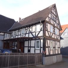
Liebfrauenberg 19
353 m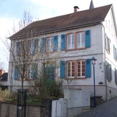
Neugasse 5
380 m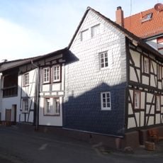
Liebfrauenberg 17
365 m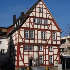
Obertorstraße 29
413 m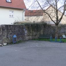
Bitzenstraße o. Nr.
448 m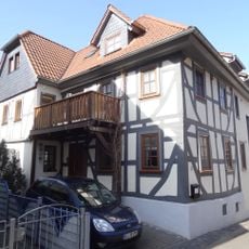
Saalgasse 3
369 m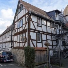
Saalgasse 7
345 m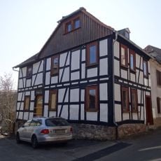
Bitzenstraße 50
389 m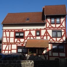
Bitzenstraße 17
375 m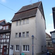
Untertorstraße 9
495 m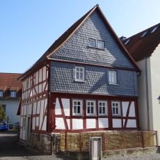
Bitzenstraße 16
451 m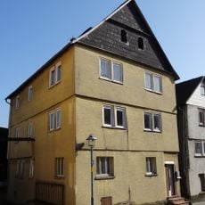
Bitzenstraße 8
460 m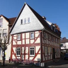
Bitzenstraße 5
441 mVisited this place? Tap the stars to rate it and share your experience / photos with the community! Try now! You can cancel it anytime.
Discover hidden gems everywhere you go!
From secret cafés to breathtaking viewpoints, skip the crowded tourist spots and find places that match your style. Our app makes it easy with voice search, smart filtering, route optimization, and insider tips from travelers worldwide. Download now for the complete mobile experience.

A unique approach to discovering new places❞
— Le Figaro
All the places worth exploring❞
— France Info
A tailor-made excursion in just a few clicks❞
— 20 Minutes