
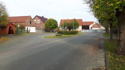
Jessern, human settlement in Germany
Location: Schwielochsee
Elevation above the sea: 45 m
GPS coordinates: 52.02500,14.19417
Latest update: November 14, 2025 13:51
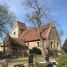
Village church Zaue
1.9 km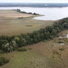
Alte Spreemündung
5.5 km
Dammer Moor
5 km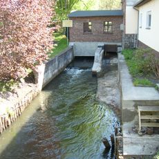
Doberburger Mühlenfließ
4.3 km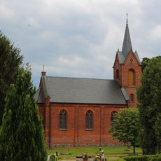
Dorfkirche Mochow
5.1 km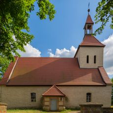
Village church Mittweide
5.4 km
Schwarzes Luch
2.5 km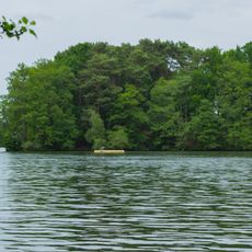
Wald- und Seengebiet zwischen Schwielochsee, Lieberose und Spreewald
5.3 km
Eules Wein Berg
2.9 km
Toter Mann
4.1 km
Rians-Berg
3.2 km
Swieten-Berg
4.9 km
Dammer Moor
5.4 km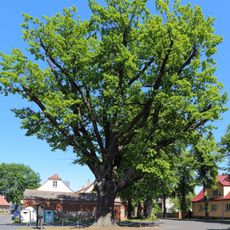
Friedenseiche
1.4 km
Naturdenkmal Eiche am Ostufer des Sees (Hoffnungsbay), Flur 1, Flurstück 78 in Jessern
1.5 km
Naturdenkmal Roßkastanie Bahnhof 28 A, Flur 2, Flurstück 193/6 in Goyatz
1.7 km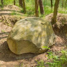
Devil's Stone
4.1 km
Dobberburger Mühlenfließ
2.8 km
Naturdenkmal Winterlinde Am Bahnhof Nr. 36 (ehemaliges Zollhaus), Flur 1, Flurstück 82/3 in Goyatz
1.3 km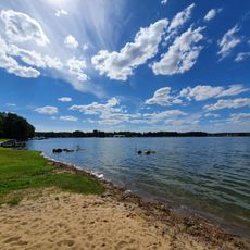
Badestrand Jessern
932 m
Seebühne
1.3 km
Badestelle Mochow
4.9 km
FKK
3.6 km
Leichhardt-Aussichtshöhe
4.9 km
Neue Mühle
3.5 km
Denkmal 1.und 2. Weltkrieg
1.4 km
Denkmal 1. und 2. Weltkrieg
2.2 km
Memorial stone, memorial
1.7 kmReviews
Visited this place? Tap the stars to rate it and share your experience / photos with the community! Try now! You can cancel it anytime.
Discover hidden gems everywhere you go!
From secret cafés to breathtaking viewpoints, skip the crowded tourist spots and find places that match your style. Our app makes it easy with voice search, smart filtering, route optimization, and insider tips from travelers worldwide. Download now for the complete mobile experience.

A unique approach to discovering new places❞
— Le Figaro
All the places worth exploring❞
— France Info
A tailor-made excursion in just a few clicks❞
— 20 Minutes