
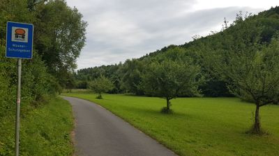
Wasserschutzgebiet Dittwar/Königheim/Gissigheim/Heckfeld/Oberlauda, Wasserschutzgebiet im Main-Tauber-Kreis in Baden-Württemberg
Location: Tauberbischofsheim
Location: Königheim
Location: Lauda-Königshofen
Inception: January 1, 2001
Part of: Water protection areas in Main-Tauber-Kreis
GPS coordinates: 49.60192,9.64387
Latest update: April 14, 2025 15:49
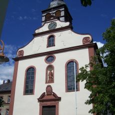
St. Laurentius
1.4 km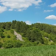
Burg Dittwar
1 km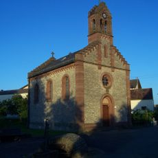
Zur Schmerzhaften Muttergottes
1.4 km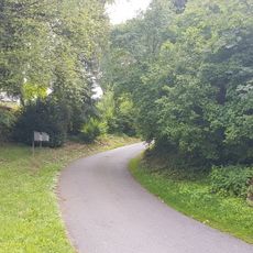
Siedlung Heidenkessel
587 m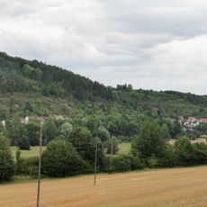
An der Königheimer Straße
1 km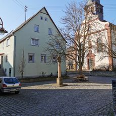
Wohnhaus und Ökonomiegebäude
1.4 km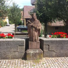
Nepomukstatue
1.4 km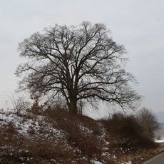
Naturdenkmal 2 Linden Saugrube
965 m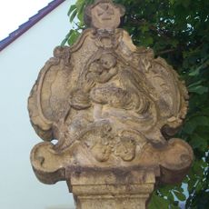
Bildstock
1.4 km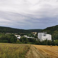
ZG Raiffeisen Getreidesilo Bahnhof Dittwar
337 m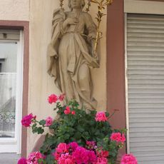
Bildstock
1.3 km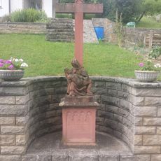
Bildstock
1.3 km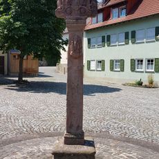
Bildstock
1.4 km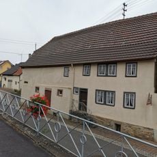
Dorfmuseum Dittwar
1.5 km
Naturdenkmal Steinriegel Dittwar Burghelle
1 km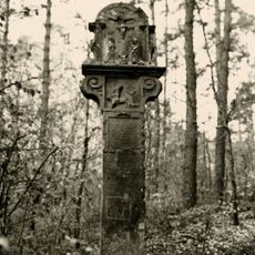
Metzgersbild
415 m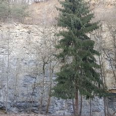
Naturdenkmal Steinbruch Vordere Brehmenleite
918 m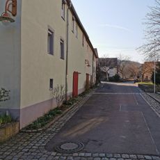
Wohnhaus und Ökonomiegebäude
1.4 km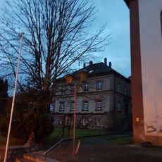
Pfarrhaus Dittwar
1.4 km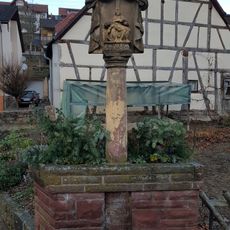
Bildstock
1.4 km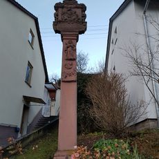
Bildstock
1.4 km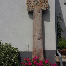
Bildstock
1.3 km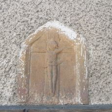
Bildstock
1.3 km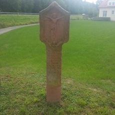
Bildstock
1.2 km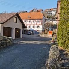
Bauernhaus
1.4 km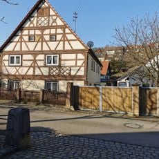
Wohnhaus
1.4 km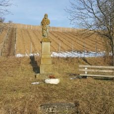
Bildstock
1.4 km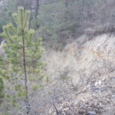
Naturdenkmal Trockenhang Hintere Brehmenleite
1.2 kmVisited this place? Tap the stars to rate it and share your experience / photos with the community! Try now! You can cancel it anytime.
Discover hidden gems everywhere you go!
From secret cafés to breathtaking viewpoints, skip the crowded tourist spots and find places that match your style. Our app makes it easy with voice search, smart filtering, route optimization, and insider tips from travelers worldwide. Download now for the complete mobile experience.

A unique approach to discovering new places❞
— Le Figaro
All the places worth exploring❞
— France Info
A tailor-made excursion in just a few clicks❞
— 20 Minutes