
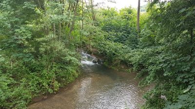
Nordwestliches Tauberland und Brehmbach, protected area in the European Union defined by the habitats directive in Baden-Württemberg, Germany
Location: Königheim
Location: Külsheim
Location: Tauberbischofsheim
Location: Lauda-Königshofen
Inception: 2004
GPS coordinates: 49.61521,9.60099
Latest update: March 9, 2025 21:38
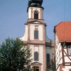
St. Martin
607 m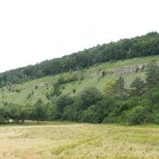
Stammberg
2 km
Hochwasserrückhaltebecken Königheim
1.3 km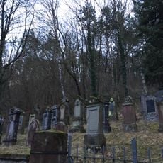
Jüdischer Friedhof Königheim
288 m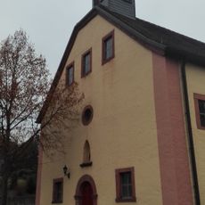
Haigerkapelle
573 m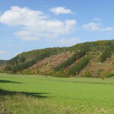
Königheim
73 m
Friedhofskapelle
737 m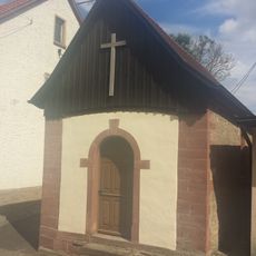
Muttergotteskapelle
2.2 km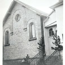
Synagoge
435 m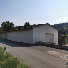
Schneidmühle
1.8 km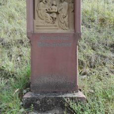
Kreuzweg
916 m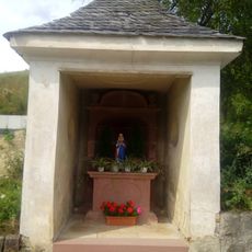
Gartelkapelle
890 m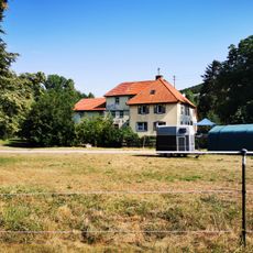
Untere Mühle
2 km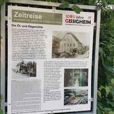
Öl- und Sägmühle
1.8 km
Stammberg
2 km
Hussenbacher Höhe
555 m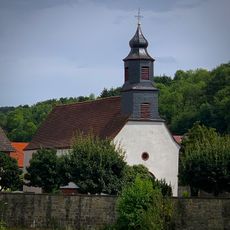
Friedhof
786 m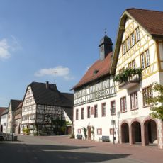
Rathaus
540 m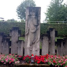
Kriegerdenkmal
2.1 km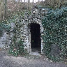
Mariengrotte
605 m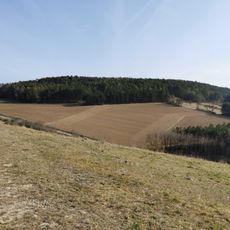
Gissigheimer Höhe
1.3 km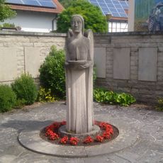
Kriegerdenkmal
723 m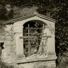
Feldkapelle am Stammberg
1.8 km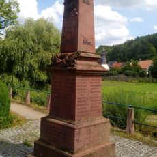
Kriegerdenkmal
880 m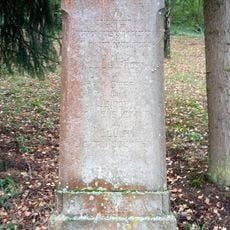
Kriegerdenkmal
323 m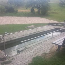
Kneipp-Anlage
2.1 km
Öffentlicher Bücherschrank
427 m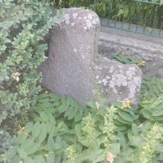
Sühnekreuz Königheim I
435 mVisited this place? Tap the stars to rate it and share your experience / photos with the community! Try now! You can cancel it anytime.
Discover hidden gems everywhere you go!
From secret cafés to breathtaking viewpoints, skip the crowded tourist spots and find places that match your style. Our app makes it easy with voice search, smart filtering, route optimization, and insider tips from travelers worldwide. Download now for the complete mobile experience.

A unique approach to discovering new places❞
— Le Figaro
All the places worth exploring❞
— France Info
A tailor-made excursion in just a few clicks❞
— 20 Minutes