
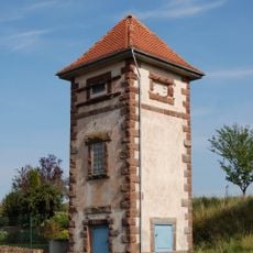
Marburger Straße 19, bouwwerk in Kirchhain, Duitsland
Location: Kirchhain
Inception: 1870
Address: Marburger Str. 19 35274
GPS coordinates: 50.84420,8.86726
Latest update: March 29, 2025 01:24

Transformatorenhäuschen
324 m
Ordensmühle (Anzefahr)
311 m
St. Michael (Anzefahr)
198 m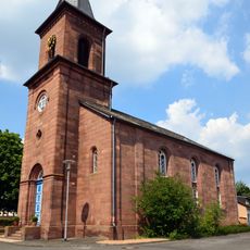
Protestant Church
2 km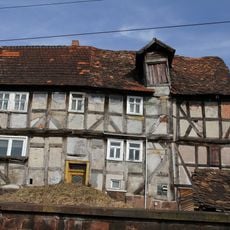
Schmittgasse 6
264 m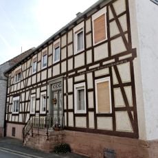
Marburger Straße 33
125 m
Landschaftsschutzgebiet Auenverbund Lahn-Ohm
1.8 km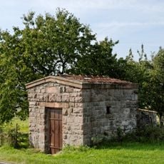
Wasserbehälter Sindersfelder Straße
1.3 km
Semmekreuz
1.3 km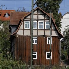
Schmittgasse 3
215 m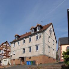
Kirchweg 3
211 m
Marburger Straße 21
10 m
Marburger Straße 27
49 m
Marburger Straße 31
110 m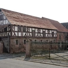
Marburger Straße 25
32 m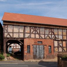
Marburger Straße 42
232 m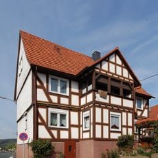
Marburger Straße 44
266 m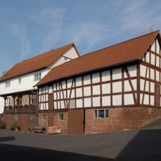
Marburger Straße 47
270 m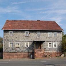
Marburger Straße 50
386 m
Marburger Straße 26
25 m
Marburger Straße 2
306 m
Am kleinen Born 2
16 m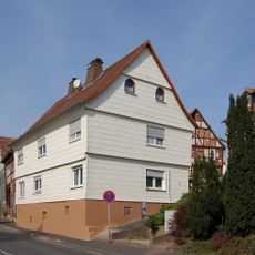
Kirchweg 1
212 m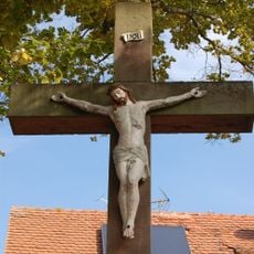
Hochkruzifix Sindersfelder Straße/Pfarrweg
264 m
Sindersfelder Straße 1
301 m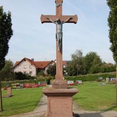
Hochkruzifix
420 m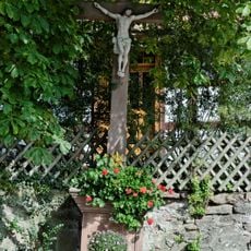
Kruzifix Hohlweg
147 m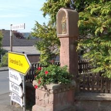
Bildstock Sindersfelder Straße
288 mReviews
Visited this place? Tap the stars to rate it and share your experience / photos with the community! Try now! You can cancel it anytime.
Discover hidden gems everywhere you go!
From secret cafés to breathtaking viewpoints, skip the crowded tourist spots and find places that match your style. Our app makes it easy with voice search, smart filtering, route optimization, and insider tips from travelers worldwide. Download now for the complete mobile experience.

A unique approach to discovering new places❞
— Le Figaro
All the places worth exploring❞
— France Info
A tailor-made excursion in just a few clicks❞
— 20 Minutes