
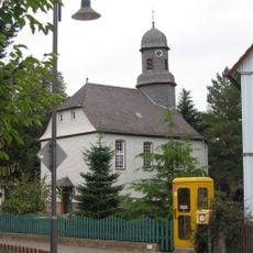
Friedhof, Cultural heritage monument in Allmenrod, Hesse, Germany
Location: Lauterbach
Address: Am Dirkelberg 8 (außerhalb Ortslage)
GPS coordinates: 50.63350,9.32755
Latest update: March 2, 2025 23:52

Talstrasse 12
397 m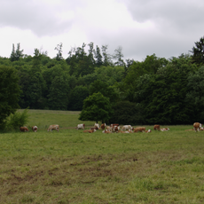
Naturschutzgebiet Bienwiesen bei Allmenrod
1.5 km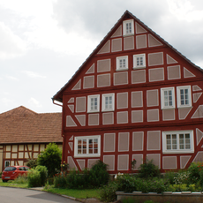
Querweg 3
499 m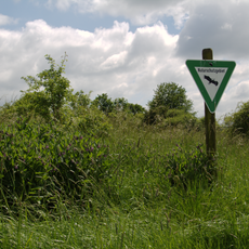
Naturschutzgebiet Heidberg bei Sickendorf
802 m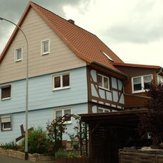
Rodweg 1
1.3 km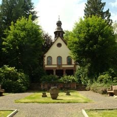
Unter den Eichen 3
1.2 km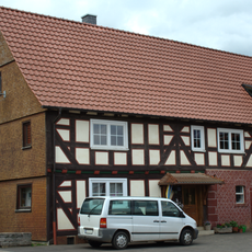
Oberdorf 5
411 m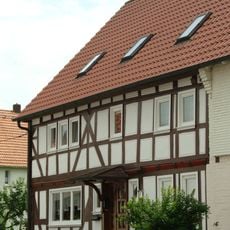
Steigersweg 2
527 m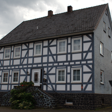
Talstraße 29
591 m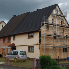
Talstraße 30
549 m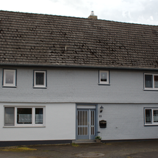
Talstraße 33
625 m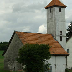
Spritzenhaus
279 m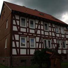
Lauterweg 3
616 m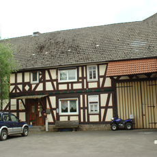
Oberdorf 2
458 m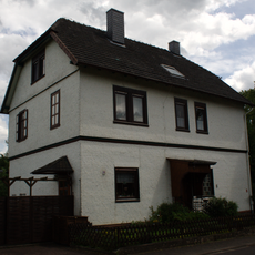
Ehemaliges Schulhaus
334 m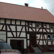
Talstraße 25
549 m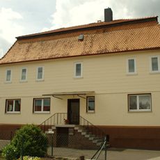
Steigersweg 1
472 m
Talstraße 27
559 m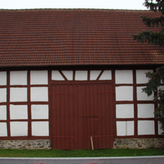
Steigersweg 7
542 m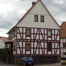
Talstraße 21
479 m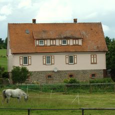
Weiher 3
1.6 km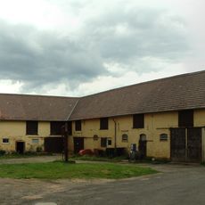
Gesamtanlage Hofgut Sickendorf
1.6 km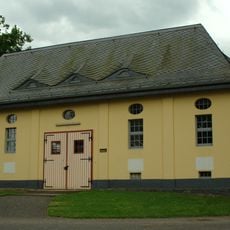
Reithalle
1.5 km
Talstraße 23
522 m
Ehemalige Schule
1.2 km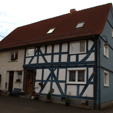
Talstraße 22
453 m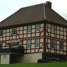
Oberster Hof
1.3 km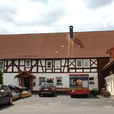
Talstraße 19
429 mReviews
Visited this place? Tap the stars to rate it and share your experience / photos with the community! Try now! You can cancel it anytime.
Discover hidden gems everywhere you go!
From secret cafés to breathtaking viewpoints, skip the crowded tourist spots and find places that match your style. Our app makes it easy with voice search, smart filtering, route optimization, and insider tips from travelers worldwide. Download now for the complete mobile experience.

A unique approach to discovering new places❞
— Le Figaro
All the places worth exploring❞
— France Info
A tailor-made excursion in just a few clicks❞
— 20 Minutes