
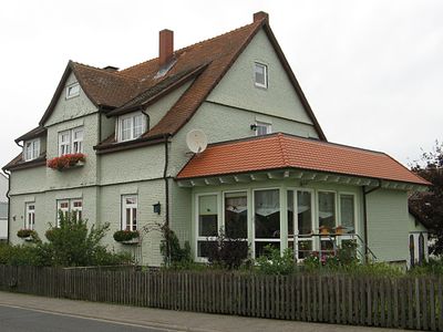
DE HE 66812, Cultural heritage monument in Wernges
Location: Lauterbach
Address: Steinbergstraße
GPS coordinates: 50.67623,9.42309
Latest update: March 17, 2025 11:27
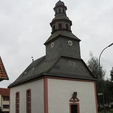
DE HE 66818
173 m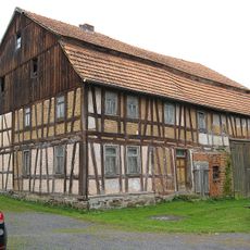
Am Grabenweg 5
222 m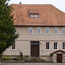
Pfarrhaus
2.9 km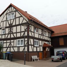
Dornweg 3
3 km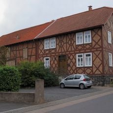
Goldhelg 14
3 km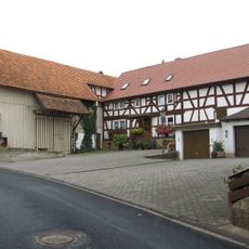
Am Bernhardsberg 6
236 m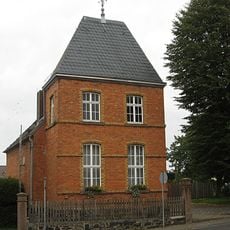
DE HE 66810
59 m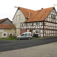
Am Bernhardsberg 7
226 m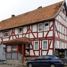
Am Osterborn 1
3 km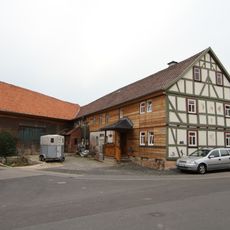
Goldhelg 20
3 km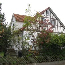
DE HE 66814
140 m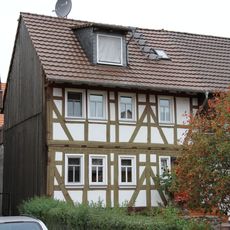
Hauptstraße 38a
2.7 km
Kimgesgartenweg 1
2.7 km
Schulstraße 13, 15, 21, 23
2.7 km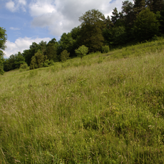
Magerrasen bei Lauterbach und Kalkberge bei Schwarz
2.7 km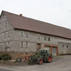
Hauptstraße 15
2.9 km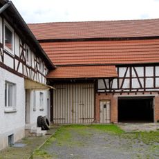
Dornweg 9
3 km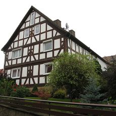
Am Bernhardsberg 8
244 m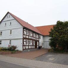
Dornweg 8
2.9 km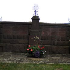
Gefallenendenkmal auf dem Friedhof
545 m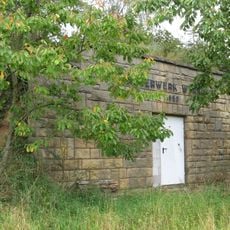
Wasserwerk
260 m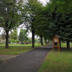
Cemetery in Maar
2.4 km
Hauptstraße 16
3 km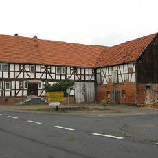
DE HE 66816
175 m
Am Osterborn 2
3 km
DE HE 66822
149 m
DE HE 66824
132 m
Am Bernhardsberg 4
219 mReviews
Visited this place? Tap the stars to rate it and share your experience / photos with the community! Try now! You can cancel it anytime.
Discover hidden gems everywhere you go!
From secret cafés to breathtaking viewpoints, skip the crowded tourist spots and find places that match your style. Our app makes it easy with voice search, smart filtering, route optimization, and insider tips from travelers worldwide. Download now for the complete mobile experience.

A unique approach to discovering new places❞
— Le Figaro
All the places worth exploring❞
— France Info
A tailor-made excursion in just a few clicks❞
— 20 Minutes