
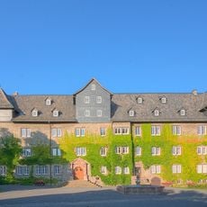
Rimloser Straße 29 und 31, Cultural heritage monument in Lauterbach, Hesse, Germany
Location: Lauterbach
Address: Rimloser Straße
GPS coordinates: 50.64103,9.38749
Latest update: April 23, 2025 11:24
Burg
627 m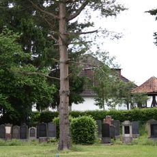
Jüdischer Friedhof
453 m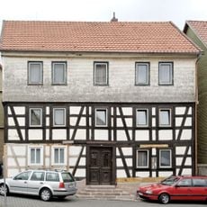
Obergasse 47
638 m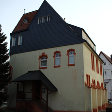
Adolf-Spieß-Straße 6
460 m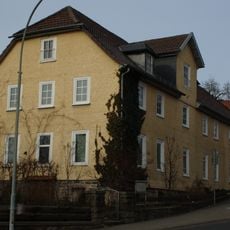
Cent 4
577 m
Friedrich-Ludwig-Jahn-Straße 4
396 m
Adolf-Spieß-Straße 17
263 m
Adolf-Spieß-Straße 28
295 m
Adolf-Spieß-Straße 24/26
314 m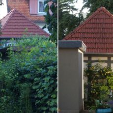
Gartenhaus
521 m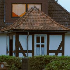
Gartenhaus
432 m
Burg 2
613 m
Burgwirtschaft mit Tor
621 m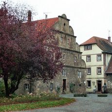
Ehem. Pächterhaus
629 m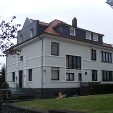
Adolf-Spieß-Straße 10
438 m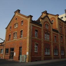
Burgbrauerei
357 m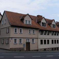
Cent 9
580 m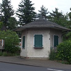
Ehem. Gartenhaus
474 m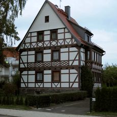
Am Cent 35
338 m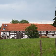
Cent 61/63
478 m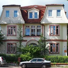
Adolf-Spieß-Straße 15
280 m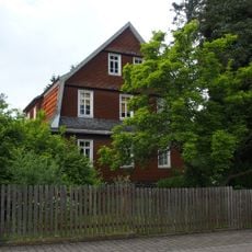
Gartenstraße 14
528 m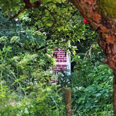
Gartenhaus
603 m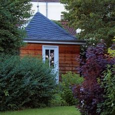
Gartenhaus
537 m
Wohnhaus
519 m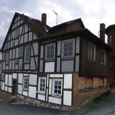
Rockelsgasse 17 und 17c
612 m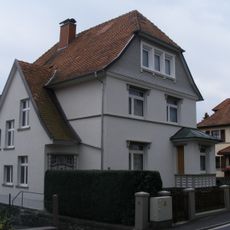
Schillerstraße 10
384 m
Gartenhaus am Alteberg
521 mVisited this place? Tap the stars to rate it and share your experience / photos with the community! Try now! You can cancel it anytime.
Discover hidden gems everywhere you go!
From secret cafés to breathtaking viewpoints, skip the crowded tourist spots and find places that match your style. Our app makes it easy with voice search, smart filtering, route optimization, and insider tips from travelers worldwide. Download now for the complete mobile experience.

A unique approach to discovering new places❞
— Le Figaro
All the places worth exploring❞
— France Info
A tailor-made excursion in just a few clicks❞
— 20 Minutes