
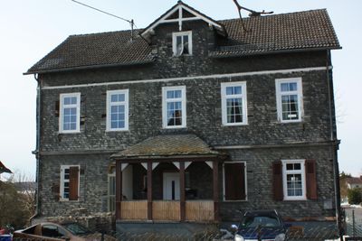
Ehemalige Volksschule, Cultural heritage monument in Reichenborn, Hesse, Germany
Location: Merenberg
Address: Rückershäuser Straße
GPS coordinates: 50.53143,8.17475
Latest update: March 11, 2025 12:41
St. Jakobus (Merenberg)
2.3 km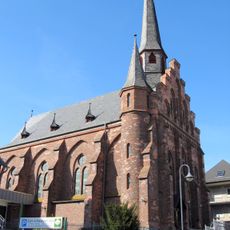
St. Katharina
2.2 km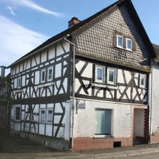
Westerwaldstraße 16
2.3 km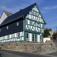
Alte Schule
2.3 km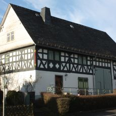
Westerwaldstraße 39
2.3 km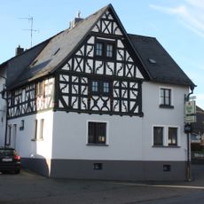
Westerwaldstraße 25
2.3 km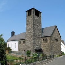
Kath. Pfarrkirche Mariae Geburt
2 km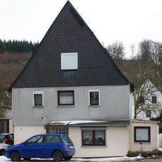
Schulstraße 16
2.2 km
Schulstraße 75
2.3 km
Stegstraße 15
2.3 km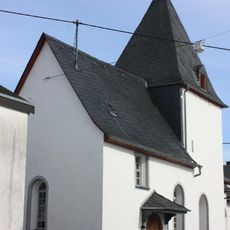
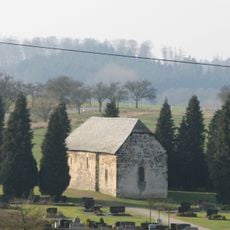
Evangelische Kapelle
102 m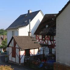
Bergstraße 3
2.3 km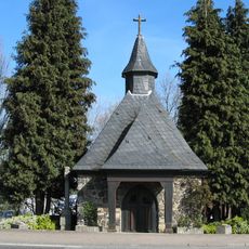
Kriegergedächtniskapelle und Gemeindekreuz
2.2 km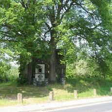
Kapellenruine und Bildstock am Seeweiher
2.2 km
Kirchenfundament
2.3 km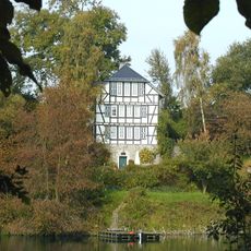
Seemühle am Seeweiher
2.2 km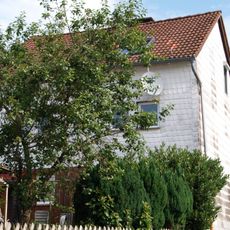
Kornbrunnenstraße 1
2.1 km
Klingelbachstraße 16
2.4 km
Kirchstraße 4
2.1 km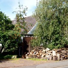
Stegstraße 23/25
2.3 km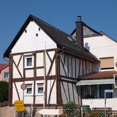
Nordweststraße 2
2.1 km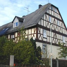
Fachwerkhaus im Oberdorf
2 km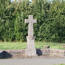
Wegekreuz
2.4 km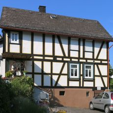
Schulgasse 4
2.3 km
Schulgasse 2
2.3 km
Bergstraße 8/10
2.3 km
Hauptstraße 12
1.1 km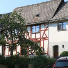
An der Alten Kirche 1
2.3 kmVisited this place? Tap the stars to rate it and share your experience / photos with the community! Try now! You can cancel it anytime.
Discover hidden gems everywhere you go!
From secret cafés to breathtaking viewpoints, skip the crowded tourist spots and find places that match your style. Our app makes it easy with voice search, smart filtering, route optimization, and insider tips from travelers worldwide. Download now for the complete mobile experience.

A unique approach to discovering new places❞
— Le Figaro
All the places worth exploring❞
— France Info
A tailor-made excursion in just a few clicks❞
— 20 Minutes