
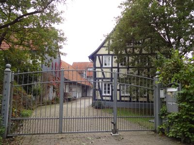
Auf der Luh 5, Cultural heritage monument in Linden, Hesse, Germany
Location: Linden
Address: Auf der Luh
GPS coordinates: 50.54032,8.63139
Latest update: April 16, 2025 08:07
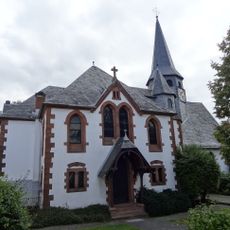
Evangelische Kirche (Lützellinden)
618 m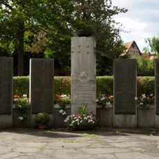
Cemetery
431 m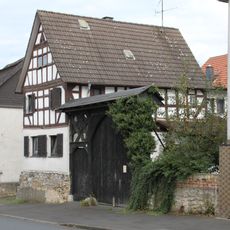
Rheinfelser Straße 5
656 m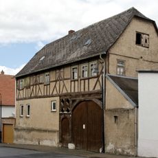
Lindenstraße 4
621 m
Lindenstraße 9
690 m
Rheinfelser Straße 14
658 m
Lindenstraße 3
630 m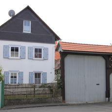
Kirchweg 14
610 m
Lindenstraße 22
757 m
An der Schule 12
762 m
Kirchweg 16
589 m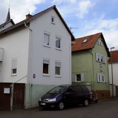
Kirchweg 2-8
604 m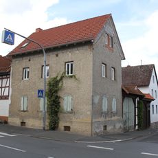
Lindenstraße 1
624 m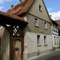
An der Schule 10
730 m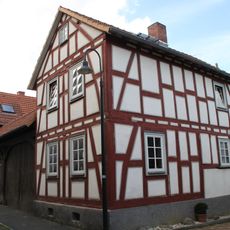
An der Schule 4
694 m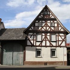
Schöne Haus
714 m
Rheinfelser Straße 4
607 m
Lindenstraße 10
672 m
Gesamtanlage Rheinfelser Straße
695 m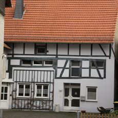
Rheinfelser Straße 3
633 m
An der Schule 6
697 m
Am Backhaus 5
741 m
Rheinfelser Straße 9
688 m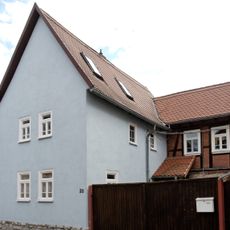
Rheinfelser Straße 20
684 m
Lindenstraße 5
653 m
Ehemaliges Rathaus
650 m
Rheinfelser Straße 13
721 m
Rheinfelser Straße 24
696 mReviews
Visited this place? Tap the stars to rate it and share your experience / photos with the community! Try now! You can cancel it anytime.
Discover hidden gems everywhere you go!
From secret cafés to breathtaking viewpoints, skip the crowded tourist spots and find places that match your style. Our app makes it easy with voice search, smart filtering, route optimization, and insider tips from travelers worldwide. Download now for the complete mobile experience.

A unique approach to discovering new places❞
— Le Figaro
All the places worth exploring❞
— France Info
A tailor-made excursion in just a few clicks❞
— 20 Minutes