
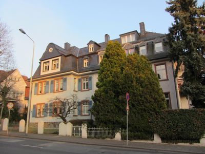
Kronberger Straße 18, Cultural heritage monument in Bad Soden am Taunus, Hesse, Germany
Location: Bad Soden am Taunus
Address: Kronberger Straße
GPS coordinates: 50.14525,8.50521
Latest update: March 3, 2025 15:37
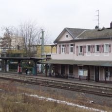
Bad Soden (Taunus) station
261 m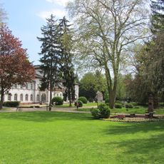
Alter Kurpark (Bad Soden)
211 m
St. Katharina (Bad Soden)
364 m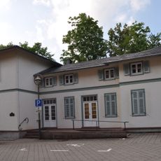
Paulinenschlösschen (Bad Soden)
115 m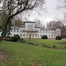
Badehaus
211 m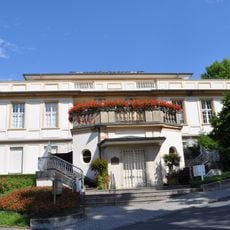
Medico Palais
117 m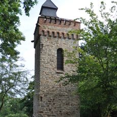
Burgberg Tower (Bad Soden)
233 m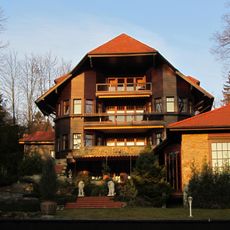
Parkstrasse 28
383 m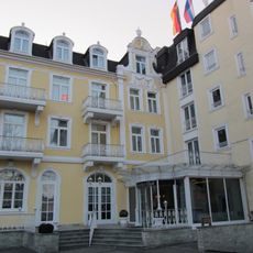
Rheinischer Hof
251 m
Gesamtanlage Königsteiner Straße 47, 49, 51, 53, 54, 55, 56, 58, 60, 62 und 64
359 m
Gesamtanlage Königsteiner Straße 79, 81, 83, 85, 87 und 89
373 m
Haus Haßler
353 m
Haus Quisisana
298 m
Rathaus
327 m
Clausstraße 2
367 m
Clausstraße 11
383 m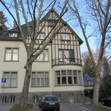
Villa Rothschild & Standesamt
327 m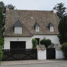
Schillerstraße 18
274 m
Kaiserstraße 3
143 m
Parkstraße 20
315 m
Villa Pommerania
291 m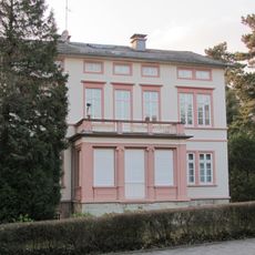
Krug’sche Villa
68 m
Atelier
372 m
Zum Quellenpark 5
372 m
Gesamtanlage Kronberger Straße/Kaiserstraße/Am Thermalbad/Moltkestraße
104 m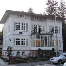
Königsteiner Straße 83
366 m
Clausstraße 7
373 m
Königsteiner Straße 49
337 mReviews
Visited this place? Tap the stars to rate it and share your experience / photos with the community! Try now! You can cancel it anytime.
Discover hidden gems everywhere you go!
From secret cafés to breathtaking viewpoints, skip the crowded tourist spots and find places that match your style. Our app makes it easy with voice search, smart filtering, route optimization, and insider tips from travelers worldwide. Download now for the complete mobile experience.

A unique approach to discovering new places❞
— Le Figaro
All the places worth exploring❞
— France Info
A tailor-made excursion in just a few clicks❞
— 20 Minutes