
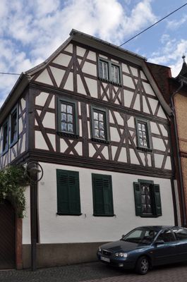
Wiesbadener Straße 10, Cultural heritage monument in Wallau (Hofheim am Taunus), Hesse, Germany
Location: Wallau
Address: Wiesbadener Straße
GPS coordinates: 50.06120,8.37139
Latest update: March 3, 2025 00:29

Kirche Wallau
107 m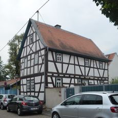
Kirchspiel 3
90 m
Wiesbadener Straße 12
31 m
Pfarrbornstraße 20
134 m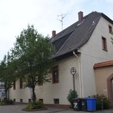
Receptur-Hof 4-5
158 m
Pfarrbornstraße 6
124 m
Wiesbadener Straße 6
50 m
Ehemaliger Bleidenstädter Klosterhof
117 m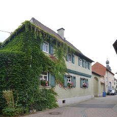
Pfarrbornstraße 9
126 m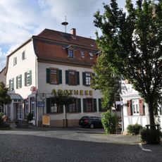
Ehemaliges Amtshaus
146 m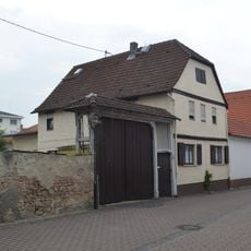
Rathausstraße 12
187 m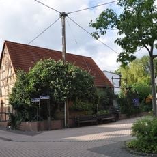
Scheune
225 m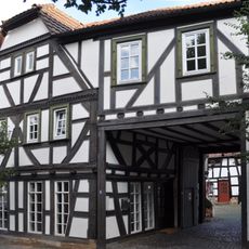
Herrnhäuser Straße 3
193 m
Herrnhäuser Straße 4
198 m
Ehemaliger Hattstein (Adelsgeschlecht)|Hattsteiner Hof
172 m
Ehemaliges Rathaus
118 m
Kirchspiel 2
89 m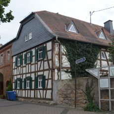
Rathausstraße 10
163 m
Bleichstraße 2
230 m
Rathausstraße 14
207 m
Herrnhäuser Straße 6
213 m
Friedhof Wallau
85 m
Taunusstraße 2
76 m
Evangelisches Pfarrhaus
52 m
Wiesbadener Straße 4
62 m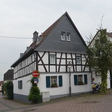
Herrnhäuser Straße 7
224 m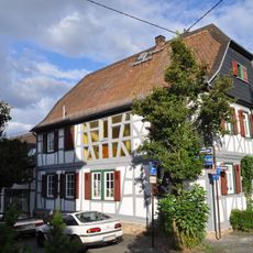
Ehemalige Oberschultheißenwohnung
135 m
Pfarrbornstraße
129 mReviews
Visited this place? Tap the stars to rate it and share your experience / photos with the community! Try now! You can cancel it anytime.
Discover hidden gems everywhere you go!
From secret cafés to breathtaking viewpoints, skip the crowded tourist spots and find places that match your style. Our app makes it easy with voice search, smart filtering, route optimization, and insider tips from travelers worldwide. Download now for the complete mobile experience.

A unique approach to discovering new places❞
— Le Figaro
All the places worth exploring❞
— France Info
A tailor-made excursion in just a few clicks❞
— 20 Minutes