
Einfriedungsmauer des Kirchhofs Straße der Jugend
Einfriedungsmauer des Kirchhofs Straße der Jugend, church building in Sohland an der Spree, Germany
Location: Sohland an der Spree
Inception: 1645
Address: Straße der Jugend
GPS coordinates: 51.04636,14.48082
Latest update: March 11, 2025 01:01

Římskokatolická farnost Fukov
1.5 km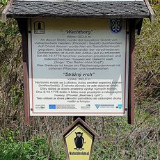
Wachtberg
1 km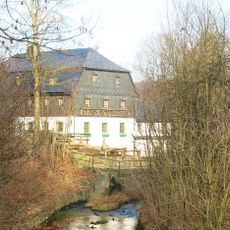
Rožany 36
2.9 km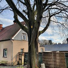
Blutbuche
1.8 km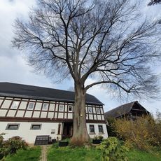
Horns lime tree (Oppach)
1.9 km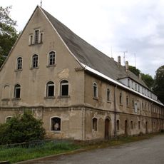
Schloss Oppach
1.6 km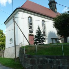
Kirche (Einzeldenkmal zu ID-Nr. 09300912) Straße der Jugend
31 m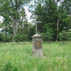
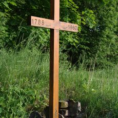
Centrální kříž na hřbitově bývalé obce Fukov
1.5 km
Schloss (Einzeldenkmal zu ID-Nr. 09300918) Sohlander Straße 2
157 m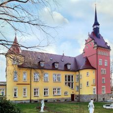
Denkmal (Obelisk) für Richard Pleyl im Park (Einzeldenkmal zu ID-Nr. 09300918) Sohlander Straße 2
464 m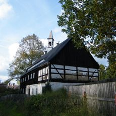
Královka 26
2.5 km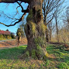
Pedunculate oak at the gondola pond (Oppach)
1.5 km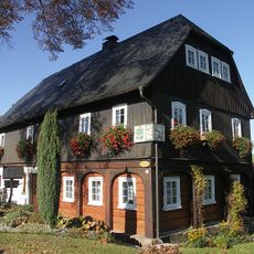
Spreeweg 3
567 m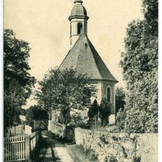
Kirche und Kirchhof Taubenheim (Sachgesamtheit) Straße der Jugend
15 m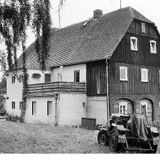
Obermühle Taubenheim/Spree
341 m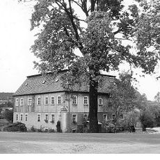
Niedermühle Taubenheim/Spree
361 m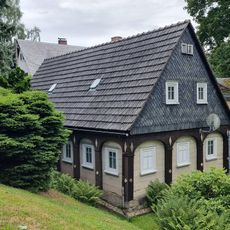
Löbauer Straße 20
2.6 km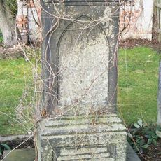
Kříž v zahradě domu 7 u silnice z Rožan do Královky
2.8 km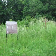
Pamětní kříž u hřbitova bývalé obce Fukov
1.5 km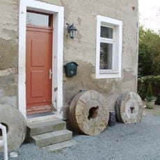
Damm-Mühle Oppach
1.3 km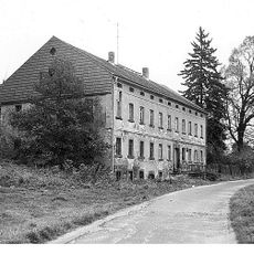
Rothe Mühle oder Neue Grenzmühle
917 m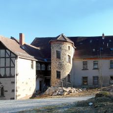
Rittergut Niedertaubenheim
1.1 km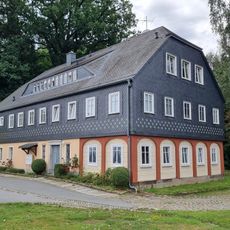
Löbauer Straße 26; 28
2.7 km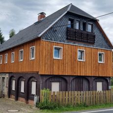
Löbauer Straße 40
2.9 km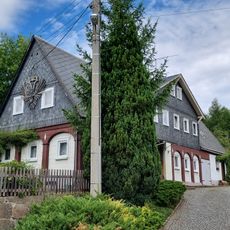
Löbauer Straße 51
2.6 km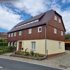
Löbauer Straße 69
2.8 km
Wohnhaus (Umgebinde) im Hakengrundriss Zittauer Straße 44
2.6 km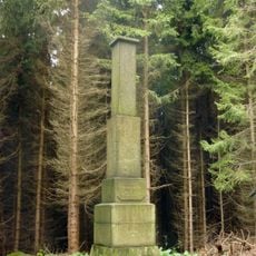
Station 45 Taubenberg
1.6 kmReviews
Visited this place? Tap the stars to rate it and share your experience / photos with the community! Try now! You can cancel it anytime.
Discover hidden gems everywhere you go!
From secret cafés to breathtaking viewpoints, skip the crowded tourist spots and find places that match your style. Our app makes it easy with voice search, smart filtering, route optimization, and insider tips from travelers worldwide. Download now for the complete mobile experience.

A unique approach to discovering new places❞
— Le Figaro
All the places worth exploring❞
— France Info
A tailor-made excursion in just a few clicks❞
— 20 Minutes