
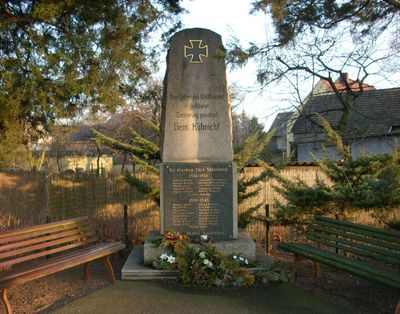
Denkmal für die Gefallenen des 1. Weltkrieges Lindenweg 2
Denkmal für die Gefallenen des 1. Weltkrieges Lindenweg 2, Alte Ortslage Kühnicht, Granitstele auf Platte, ortsgeschichtlich von Bedeutung
Location: Hoyerswerda
Inception: 1920
Address: Lindenweg 2 (neben) (Kühnicht)
GPS coordinates: 51.44512,14.27907
Latest update: March 20, 2025 09:19
Sorbenbrunnen
1.1 km
Werke der bildenden und angewandten Kunst im Park des Krankenhauses Hoyerswerda
478 m
Wald
1.2 km
Kühnichter Straße 9 Hoyerswerda
84 m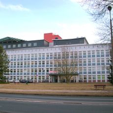
Klinikum Hoyerswerda (Sachgesamtheit) Maria-Grollmuß-Straße 10 (Neustadt)
590 m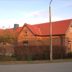
Seitengebäude (mit rückwärtigem Anbau) eines Bauernhofes Lindenweg 12 (Kühnicht)
149 m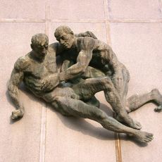
Eid des Hippokrates
555 m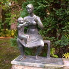
Mutter mit Kind
1.2 km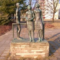
Jugend
1.2 km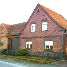
Bauernhof mit Wohnhaus, Seitengebäude und Torhaus Lindenweg 7 (Kühnicht)
75 m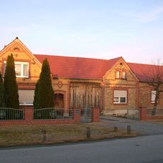
Bauernhof mit Wohnhaus, Torhaus, Seitengebäude und Scheune Lindenweg 4 (Kühnicht)
85 m
Wohnhaus und Hofmauer eines Bauernhofes Lindenweg 19 (Kühnicht)
296 m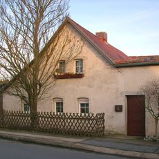
Bauernhof mit Wohnhaus, Torhaus und Seitengebäude Lindenweg 2 (Kühnicht)
57 m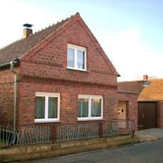
Bauernhof mit Wohnhaus, Scheune und Hofmauer mit Pforte Kastanienweg 3 (Kühnicht)
151 m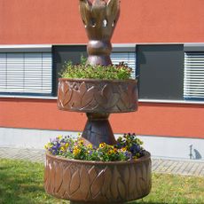
Pflanzenturm
615 m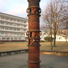
Taubenturm
547 m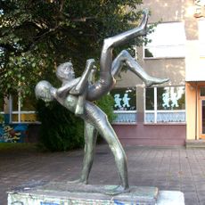
Turnende Knaben
989 m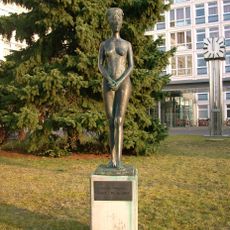
Junges Mädchen
568 m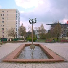
Vogelflug
472 m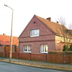
Bauernhof mit Wohnhaus, Seitengebäude, Scheune und Hofmauer mit Toreinfahrt Kühnichter Straße 18 (Kühnicht)
115 m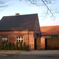
Wohnhaus und Toreinfahrt eines Bauernhofes Kühnichter Straße 17 (Kühnicht)
67 m
Versorgungszentrum, bestehend aus vier Gebäuden, gruppiert um einen Warenanlieferungshof Johann-Sebastian-Bach-Straße 11, 13, 15, 17 (Neustadt/WK 4)
1.2 km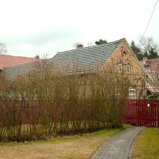
Seitengebäude eines Bauernhofes Klein Zeißig 1
917 m
Kinderkombination (Krippe und Kindergarten) Schöpsdorfer Straße 40, 41 (Neustadt/WK 8)
673 m
Abwasserpumpstation Käthe-Niederkirchner-Straße (Ecke Konrad-Zuse-Straße, Neustadt/WK 1)
974 m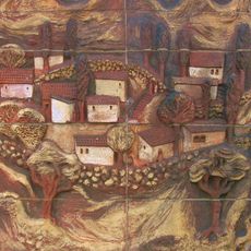
Krimlandschaft
578 m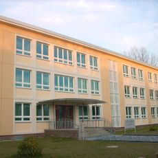
POS „Hanns Eisler“ (ehemals); Schule Robert-Schumann-Straße 10 (Neustadt/WK 4)
961 m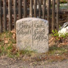
Gemarkungsstein gegenüber Kühnichter Straße 18 (Kühnicht)
138 mReviews
Visited this place? Tap the stars to rate it and share your experience / photos with the community! Try now! You can cancel it anytime.
Discover hidden gems everywhere you go!
From secret cafés to breathtaking viewpoints, skip the crowded tourist spots and find places that match your style. Our app makes it easy with voice search, smart filtering, route optimization, and insider tips from travelers worldwide. Download now for the complete mobile experience.

A unique approach to discovering new places❞
— Le Figaro
All the places worth exploring❞
— France Info
A tailor-made excursion in just a few clicks❞
— 20 Minutes