
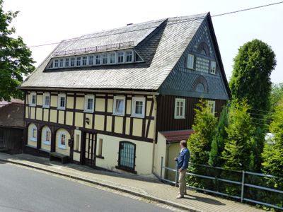
Rumburger Straße 29, Upper Lusatian house in Seifhennersdorf
Location: Seifhennersdorf
Inception: 1750
Address: Rumburger Straße 29
GPS coordinates: 50.93369,14.61015
Latest update: April 9, 2025 22:13
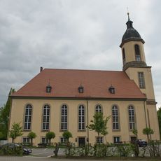
Kreuzkirche Seifhennersdorf
84 m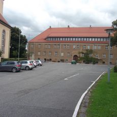
Town hall Seifhennersdorf
137 m
Nordstraße 20
134 m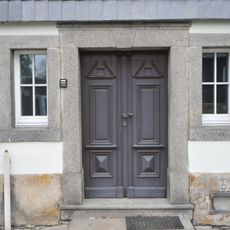
Eschenweg 2
125 m
Eschenweg 5
112 m
Am Weißeweg 15
89 m
Rumburger Straße 23
137 m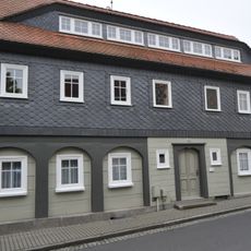
Rumburger Straße 25
83 m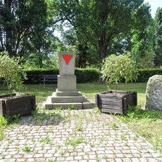
Memorial Rathausplatz
100 m
Dr.-Külz-Straße 4
136 m
Dr.-Külz-Straße 2
95 m
Am Weißeweg 23
135 m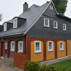
Am Weißeweg 3
43 m
Am Weißeweg 5
37 m
Nordstraße 11
168 m
Am Weißeweg 11
73 m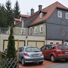
Am Weißeweg 7
53 m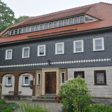
Am Weißeweg 13
106 m
Am Weißeweg 17
139 m
Am Weißeweg 19
157 m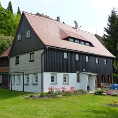
Am Weißeweg 2
88 m
Am Weißeweg 25
162 m
Rumburger Straße 40
104 m
Rumburger Straße 36; 38
32 m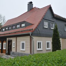
Eschenweg 1
116 m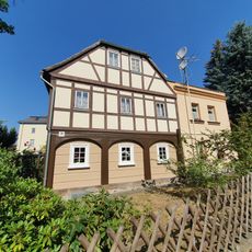
Rumburger Straße 26
100 m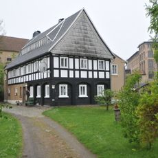
Eschenweg 3
122 m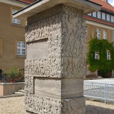
War memorial Rathausplatz
108 mReviews
Visited this place? Tap the stars to rate it and share your experience / photos with the community! Try now! You can cancel it anytime.
Discover hidden gems everywhere you go!
From secret cafés to breathtaking viewpoints, skip the crowded tourist spots and find places that match your style. Our app makes it easy with voice search, smart filtering, route optimization, and insider tips from travelers worldwide. Download now for the complete mobile experience.

A unique approach to discovering new places❞
— Le Figaro
All the places worth exploring❞
— France Info
A tailor-made excursion in just a few clicks❞
— 20 Minutes