
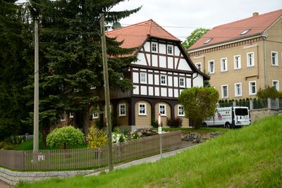
Rumburger Straße 56, Upper Lusatian house in Seifhennersdorf
Location: Seifhennersdorf
Inception: 1830
Address: Rumburger Straße 56
GPS coordinates: 50.93530,14.60602
Latest update: March 4, 2025 07:32
Karasek-Museum
179 m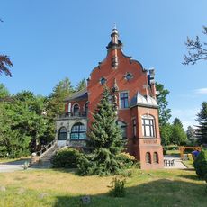
Nordstraße 34
116 m
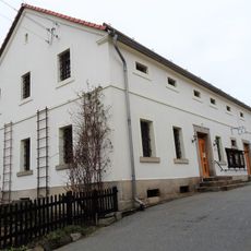
Rumburger Straße 41
148 m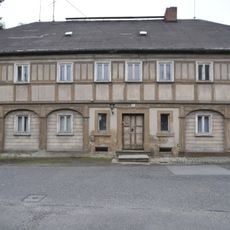
Am Weißeweg 27
180 m
Mittelmühlweg 14
120 m
Uferweg 5
56 m
Bräuerstraße 10
170 m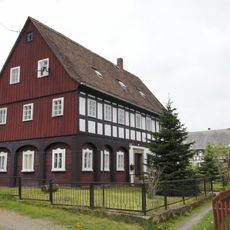
Mittelmühlweg 17
149 m
Uferweg 8
120 m
Rumburger Straße 62
165 m
Uferweg 7
43 m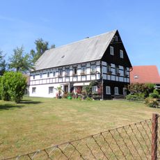
Mittelmühlweg 19
171 m
Rumburger Straße 46a
96 m
Uferweg 11
68 m
Rumburger Straße 46
158 m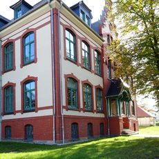
Nordstraße 30
147 m
Mittelmühlweg 15
164 m
Mittelmühlweg 12
134 m
Mittelmühlweg 10
176 m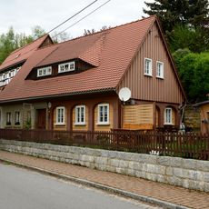
Rumburger Straße 58
26 m
Lessingstraße 1
167 m
Bräuerstraße 8
123 m
Bräuerstraße 6
97 m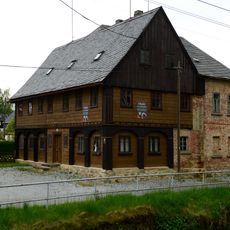
Uferweg 9
50 m
Rumburger Straße 60
54 m
Nordstraße 23
129 m
Rumburger Straße 48
63 m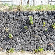
Stone wall Rumburger Straße
110 mReviews
Visited this place? Tap the stars to rate it and share your experience / photos with the community! Try now! You can cancel it anytime.
Discover hidden gems everywhere you go!
From secret cafés to breathtaking viewpoints, skip the crowded tourist spots and find places that match your style. Our app makes it easy with voice search, smart filtering, route optimization, and insider tips from travelers worldwide. Download now for the complete mobile experience.

A unique approach to discovering new places❞
— Le Figaro
All the places worth exploring❞
— France Info
A tailor-made excursion in just a few clicks❞
— 20 Minutes