
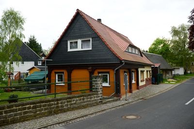
Rumburger Straße 129, Upper Lusatian house in Seifhennersdorf
Location: Seifhennersdorf
Inception: 1890
Address: Rumburger Straße 129
GPS coordinates: 50.94066,14.58420
Latest update: March 9, 2025 23:23
Rumburger Straße 127
43 m
Grenzweg 2
185 m
Rumburger Straße 164
122 m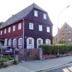
Rumburger Straße 168
160 m
Hohlfeldweg 4
161 m
Rumburger Straße 123
215 m
Südstraße 84
155 m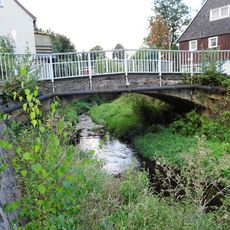
Manitzbrücke
157 m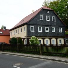
Rumburger Straße 158
23 m
Schmidtgasse 2
211 m
Rumburger Straße 150
138 m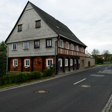
Rumburger Straße 135
96 m
Grunewaldweg 4
70 m
Rumburger Straße 137
183 m
Extinguisher station Rumburger Straße
219 m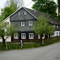
Querstraße 5
148 m
Grenzweg 1
203 m
Querstraße 3
159 m
Grunewaldweg 1
88 m
Grunewaldweg 3
97 m
Rumburger Straße 162
84 m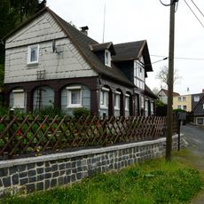
Grunewaldweg 19
141 m
Grunewaldweg 21
174 m
Grunewaldweg 23
198 m
Hohlfeldweg 1
133 m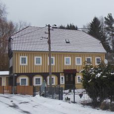
Hohlfeldweg 2
101 m
Querstraße 1
160 m
Hohlfeldweg 5
220 mReviews
Visited this place? Tap the stars to rate it and share your experience / photos with the community! Try now! You can cancel it anytime.
Discover hidden gems everywhere you go!
From secret cafés to breathtaking viewpoints, skip the crowded tourist spots and find places that match your style. Our app makes it easy with voice search, smart filtering, route optimization, and insider tips from travelers worldwide. Download now for the complete mobile experience.

A unique approach to discovering new places❞
— Le Figaro
All the places worth exploring❞
— France Info
A tailor-made excursion in just a few clicks❞
— 20 Minutes