
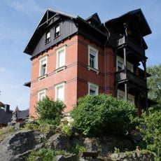
Marker stones Hainbergweg, marker stones in Oybin
Location: Oybin
Inception: 1850
Address: Hainbergweg Straße zwischen Oybin und dem alten Ortsteil Hain, Alte Hainstraße Oybin
GPS coordinates: 50.83530,14.72917
Latest update: March 3, 2025 14:37

Eschengrundweg 4
244 m
Bergweg 16
335 m
Hainstraße 8
437 m
Jonsdorfer Straße 14
528 m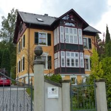
Hubertusweg 8
476 m
Jonsdorfer Straße 17
491 m
Bergweg 8
478 m
Grenzstraße 1
548 m
Jonsdorfer Straße 12
525 m
Jonsdorfer Straße 11
464 m
Jonsdorfer Straße 5
387 m
Jonsdorfer Straße 4
358 m
Jonsdorfer Straße 3
321 m
Eschengrundweg 1
267 m
Bergweg 6
505 m
Hubertusweg 10
325 m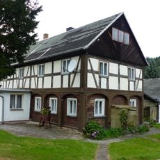
Hubertusweg 4
539 m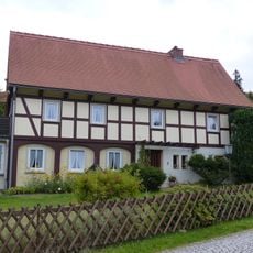
Hubertusweg 3
473 m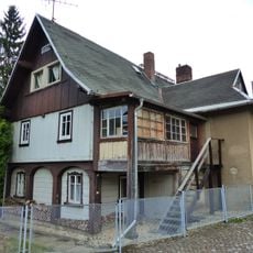
Hubertusweg 1
535 m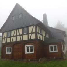
Jonsdorfer Straße 6
434 m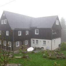
Jonsdorfer Straße 9
417 m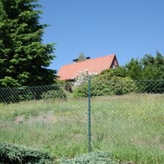
Hainstraße 12
399 m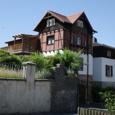
Bergweg 14
405 m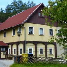
Dachslochweg 2
479 m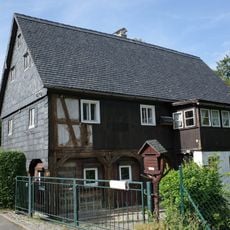
Eschengrundweg 2
243 m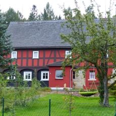
Liststraße 15
498 m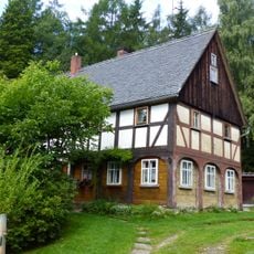
Quellweg 4
542 m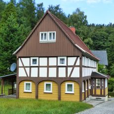
Quellweg 6
520 mReviews
Visited this place? Tap the stars to rate it and share your experience / photos with the community! Try now! You can cancel it anytime.
Discover hidden gems everywhere you go!
From secret cafés to breathtaking viewpoints, skip the crowded tourist spots and find places that match your style. Our app makes it easy with voice search, smart filtering, route optimization, and insider tips from travelers worldwide. Download now for the complete mobile experience.

A unique approach to discovering new places❞
— Le Figaro
All the places worth exploring❞
— France Info
A tailor-made excursion in just a few clicks❞
— 20 Minutes