
Wegestein, Verkehrsgeschichtlich von Bedeutung, Granit, ca. 1,60 m hoch
Location: Boxberg
Inception: 1850
Address: (1 km östlich Dürrbach, nahe Heideteich)
GPS coordinates: 51.36316,14.64604
Latest update: March 8, 2025 15:03
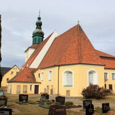
Evangelische Kirche Klitten
3.4 km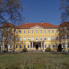
Schloss Kreba
2.9 km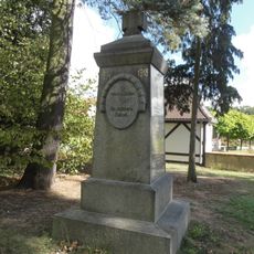
Gefallenendenkmal WK I Reichwalde
2.3 km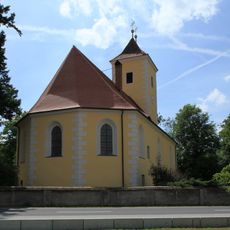
Kirche Kreba
3.1 km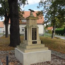
Gefallenendenkmal Kringelsdorf
3.8 km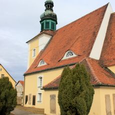
Klitten, Kapelle
3.4 km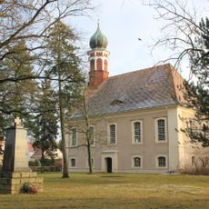
Kirche Reichwalde
2.3 km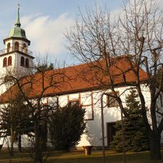
Johanneskirche
3.5 km
Kringelsdorf Schadendorfer Straße 11
3.2 km
Reichwalde Jahnstraße 14
2.2 km
Reichwalde Jahnstraße 19
2.1 km
Pfarramt Kreba
3.1 km
Herrenhaus Wilhelmsfeld
3.5 km
Reichwalde Mittelweg 9
2.3 km
Klitten, Kirche, innen
3.4 km
Rittergut Reichwalde
2.6 km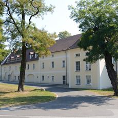
Herrenhaus eines Rittergutes (Einzeldenkmal zu ID-Nr. 09277044) Robert-Koch-Straße 21, 25
2.5 km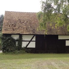
Kantorscheune Reichwalde
2.2 km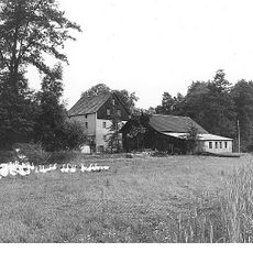
Reichwalder Mühle
2.2 km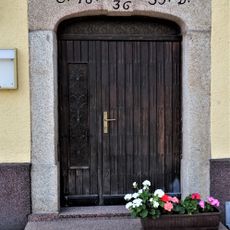
Portal Ernst-Thälmann-Str. 20, Klitten
3.4 km
Kulturhaus Kringelsdorf
3.3 km
Reichwalde Jahnstraße 50
1.8 km
Ehemaliges Wohnstallhaus Ernst-Thälmann-Straße 19
3.4 km
Wasserturm Hoyerswerdaer Straße
3.2 km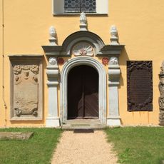
Dorfkirche und Kirchhof Kreba (Sachgesamtheit) Boxberger Straße 11
3.1 km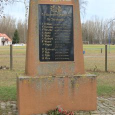
Kriegerdenkmal für die Gefallenen des Ersten Weltkrieges (Turnbrüder) Jahnstraße
2.9 km
Klitten, Kirche, Detail
3.4 km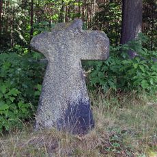
Mord- und Sühnekreuz (1 km östlich von Klitten, an der Landstraße)
2.1 kmReviews
Visited this place? Tap the stars to rate it and share your experience / photos with the community! Try now! You can cancel it anytime.
Discover hidden gems everywhere you go!
From secret cafés to breathtaking viewpoints, skip the crowded tourist spots and find places that match your style. Our app makes it easy with voice search, smart filtering, route optimization, and insider tips from travelers worldwide. Download now for the complete mobile experience.

A unique approach to discovering new places❞
— Le Figaro
All the places worth exploring❞
— France Info
A tailor-made excursion in just a few clicks❞
— 20 Minutes