
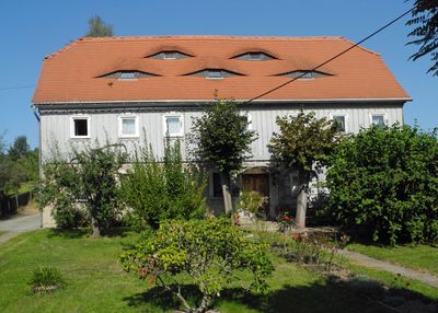
Hauptstraße 11, Upper Lusatian house and livestock housing building in Cunewalde
Location: Cunewalde
Inception: 1825
Address: Hauptstraße 11
GPS coordinates: 51.09925,14.49630
Latest update: April 12, 2025 08:35
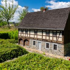
Umgebindehaus-Park Cunewalde
258 m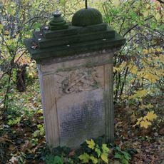
Friedhof Cunewalde
481 m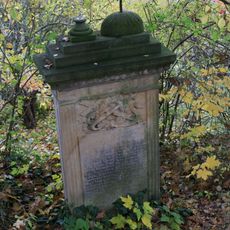
Friedhof Cunewalde (Sachgesamtheit) Kirchweg
486 m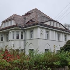
Villa mit Einfriedung und Garten Hauptstraße 6
50 m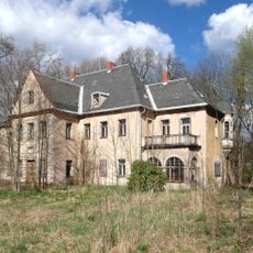
Rittergut Weigsdorf
336 m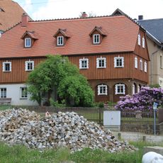
Kirchweg 4
451 m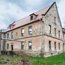
Rittergut Niedercunewalde
271 m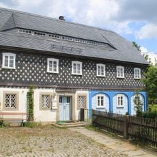
Erlenweg 1
455 m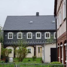
Hauptstraße 14
224 m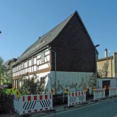
Hauptstraße 10
197 m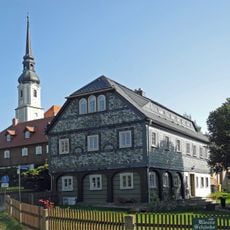
Kirchweg 2
442 m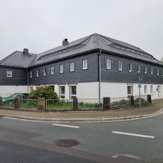
Wohnhaus mit Ladeneinbau Hauptstraße 27
383 m
Hauptstraße 26
377 m
Erlenweg 3
483 m
Hauptstraße 30
388 m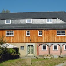
Hauptstraße 7
28 m
Schönberger Straße 7
102 m
Hauptstraße 22
327 m
An der Wolfsschlucht 20
415 m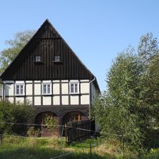
Hohlweg 1
301 m
Hauptstraße 13, 15
31 m
Schloßkellergasse 1
139 m
Wurbisstraße 2
486 m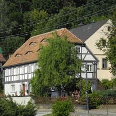
Reichenstraße 6
139 m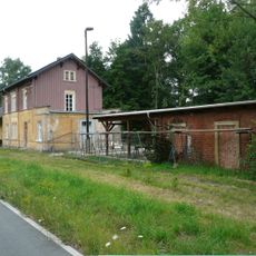
Empfangsgebäude mit angebautem Güterschuppen sowie Anbau mit Warteraum und Stellwerk Bahnhofstraße 2, 4
135 m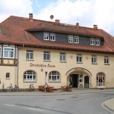
Gasthof Deutsches Haus Schönberger Straße 1
68 m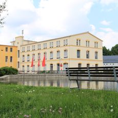
Ehemaliges Produktionsgebäude der Textilfabrik August Hempel, heute Gemeindezentrum Hauptstraße 19
89 m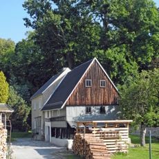
An der Wolfsschlucht 14
378 mReviews
Visited this place? Tap the stars to rate it and share your experience / photos with the community! Try now! You can cancel it anytime.
Discover hidden gems everywhere you go!
From secret cafés to breathtaking viewpoints, skip the crowded tourist spots and find places that match your style. Our app makes it easy with voice search, smart filtering, route optimization, and insider tips from travelers worldwide. Download now for the complete mobile experience.

A unique approach to discovering new places❞
— Le Figaro
All the places worth exploring❞
— France Info
A tailor-made excursion in just a few clicks❞
— 20 Minutes