
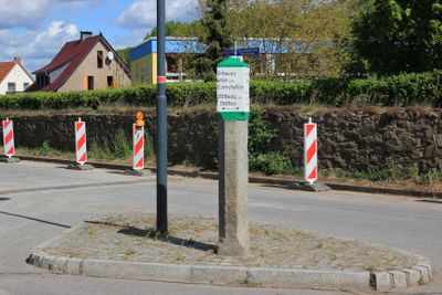
Kamjentny pućnik w Radworju, Pod dubami, Verkehrsgeschichtlich von Bedeutung
Location: Radibor
Inception: 1850
Made from material: granite
GPS coordinates: 51.24415,14.39301
Latest update: March 5, 2025 21:07
Swj. Marija, kralowna róžowca
293 m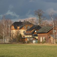
Radibor (Sachs) railway station
1.1 km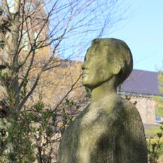
Büste von Maria Grollmuß vor der Schule in Radibor
290 m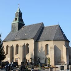
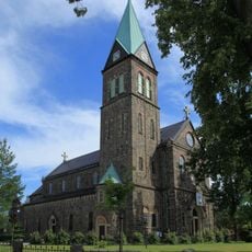
Kreuzkirche
575 m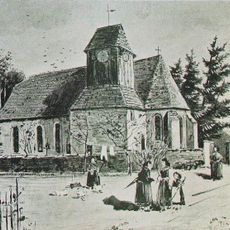
Alte Pfarrkirche
229 m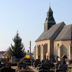
Kreuzkirche
573 m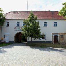
Torhaus (Rittergut Radibor)
252 m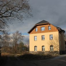
Bahnhof Radibor
1.1 km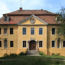
Castle of Radibor
226 m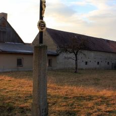
Betkreuz (Ortsausgang Richtung Radibor)
983 m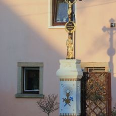
Betkreuz Brohna 17 (vor)
1.1 km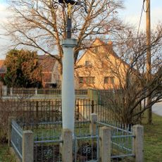
Betkreuz Brohna (Ortsmitte)
1.1 km
Eisenbahnerwohnhaus Bahnhof 1
1.1 km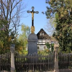
Betkreuz Dorfplatz 19 (bei)
416 m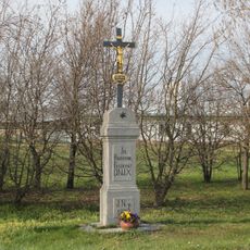
Betkreuz Bahnhof (Richtung Schwarzadler)
579 m
Sorbische Schule, davor Denkmal für Dr. Maria Grollmuß Dr.-Maria-Grollmuß-Straße 3
308 m
Betkreuz Jakob-Lorenz-Zaleski-Straße 4 (bei)
472 m
Manor and park Radibor
242 m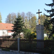
Betkreuz Windmühlenstraße 7 (bei)
347 m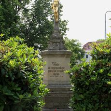
Swjaty křiž na Radworskej nawsy
308 m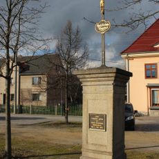
Betkreuz Dorfplatz
357 m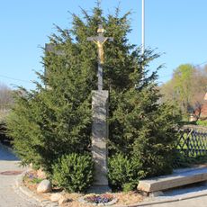
Wegkreuz Mühlhäuser (an der Gabelung)
417 m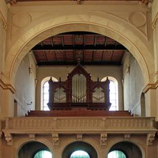
Orgel der Kath. Pfarrkirche Maria Rosenkranzkönigin - Radibor
306 m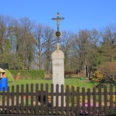
Betkreuz Mühlhäuser 6 (bei)
364 m
Betkreuz bei Kirchweg 1 (Ecke Dr.-Maria-Grollmuß-Straße)
249 m
Betkreuz Bahnhof
1 km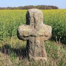
Mord- und Sühnekreuz (Ortsausgang Richtung Bornitz, auf dem Feld)
659 m
Betkreuz am östlichen Ende von Radibor am Weg nach Luttowitz
672 mVisited this place? Tap the stars to rate it and share your experience / photos with the community! Try now! You can cancel it anytime.
Discover hidden gems everywhere you go!
From secret cafés to breathtaking viewpoints, skip the crowded tourist spots and find places that match your style. Our app makes it easy with voice search, smart filtering, route optimization, and insider tips from travelers worldwide. Download now for the complete mobile experience.

A unique approach to discovering new places❞
— Le Figaro
All the places worth exploring❞
— France Info
A tailor-made excursion in just a few clicks❞
— 20 Minutes