
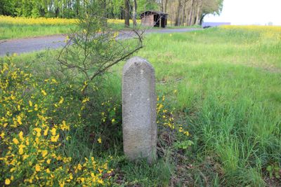
Wegestein, Verkehrsgeschichtlich von Bedeutung, Granit
Location: Radibor
Inception: 1850
Address: (200 m südlich vom Ortseingang Strohschütz)
GPS coordinates: 51.22416,14.34297
Latest update: March 21, 2025 05:44
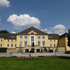
Schmochtitz Bischof Benno Haus
1.7 km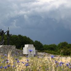
Milenijowy pomnik
242 m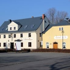
Gasthof mit Saalanbau und Wappenstein Dreikretscham 12
2.1 km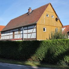
Wohnstallhaus Loga 10
1.1 km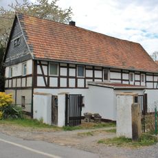
Wohnstallhaus Loga 2
1.1 km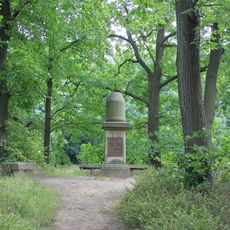
Gefallenendenkmal Schmochtitz
1.6 km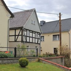
Wohnstallhaus Loga 17
877 m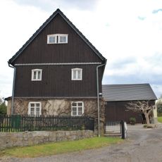
Wohnstallhaus Loga 16
850 m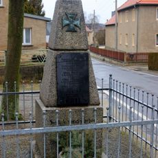
Denkmal für die Gefallenen des Ersten Weltkrieges Loga 17 (bei)
892 m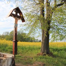
Wegkreuz am Feldweg südlich von Strohschütz
151 m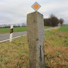
Wegesäule Löschau
1.9 km
Wegesäule Oberuhna (am Ortseingang, Kreuzung Löschau/Bolbritz)
2.1 km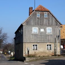
Wohnstallhaus Oberuhna 9
2.1 km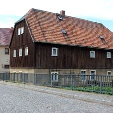
Wohnstallhaus Oberuhna 14
2.1 km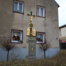
Betkreuz Dreikretscham 16 (bei)
2 km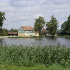
Milkwitzer Mühle
1.5 km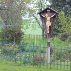
Betkreuz Strohschütz 2 (bei)
309 m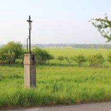
Betkreuz (Ortsausgang Strohschütz, Richtung Sandhocken)
424 m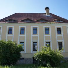
Rittergut Loga
1 km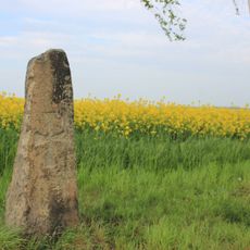
Kreuzstein (an der Straße von Schmochtitz nach Loga)
279 m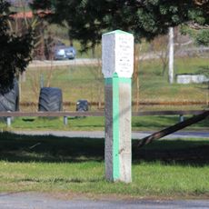
Wegestein Pannewitz (Ortsmitte)
2 km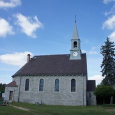
Kapelle Saritsch
1.5 km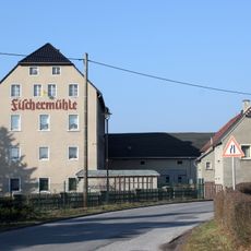
Fischermühle Dreikretscham
2 km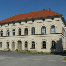
Östliches Herrenhaus (Einzeldenkmal zu ID-Nr. 09304032) Saritsch 1
1.4 km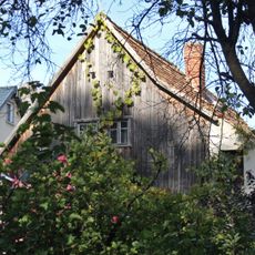
Wohnhaus eines Gehöfts Milkwitz 2
1.6 km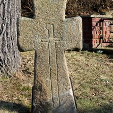
Mord- und Sühnekreuz (an der Weggabelung nach Loga)
2 km
Rittergut Saritsch (Sachgesamtheit) Saritsch 1, 1b, 1c, 1d, 1e, 1f
1.5 km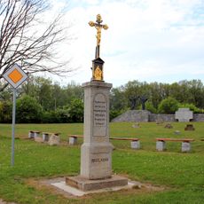
Betkreuz mit Einfriedung (Abzweig nach Strohschütz)
260 mReviews
Visited this place? Tap the stars to rate it and share your experience / photos with the community! Try now! You can cancel it anytime.
Discover hidden gems everywhere you go!
From secret cafés to breathtaking viewpoints, skip the crowded tourist spots and find places that match your style. Our app makes it easy with voice search, smart filtering, route optimization, and insider tips from travelers worldwide. Download now for the complete mobile experience.

A unique approach to discovering new places❞
— Le Figaro
All the places worth exploring❞
— France Info
A tailor-made excursion in just a few clicks❞
— 20 Minutes