
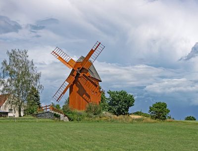
Günther-Mühle Neundorf auf dem Eigen, mill building in Neundorf auf dem Eigen
Location: Herrnhut
Inception: 1916
Address: Burkersdorfer Straße 13 (hinter) (Ortsausgang Richtung Osten)
GPS coordinates: 51.00623,14.82733
Latest update: March 7, 2025 05:43
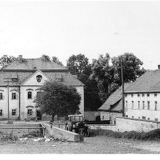
Oberrennersdorfer Schloss
3.1 km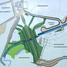
Hochwasserrückhaltebecken Rennersdorf
3.5 km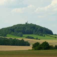
Großer Berg
3.9 km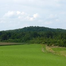
Schönbrunner Berg
3.9 km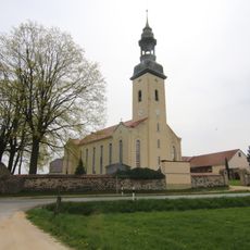
Church Großhennersdorf
3.2 km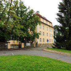
Am Sportplatz 6
2.7 km
Kulturhaus Grosshennersdorf
2.9 km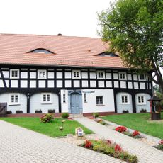
Dorfstraße 99
2.7 km
Dorfstraße 100
2.8 km
Dorfstraße 47
4 km
Bernstädter Straße 6
3.7 km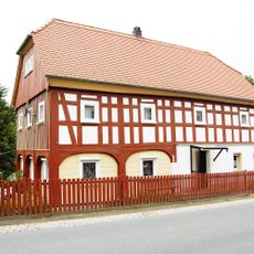
Dorfstraße 43
2.9 km
Am Flutgraben 10
3.4 km
Dorfstraße 69
2.8 km
Dorfstraße 49
2.9 km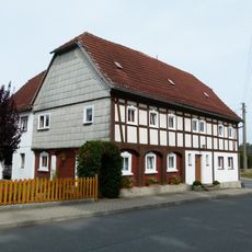
Am Markt 10
2.9 km
Hirschfelder Straße 25
2.8 km
Dorfstraße 10
3.3 km
Dorfstraße 41
2.9 km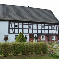
Hirschfelder Straße 12
2.8 km
Bergstraße 45; 47; 49
2.9 km
Am Markt 11
2.9 km
Viebig 7
655 m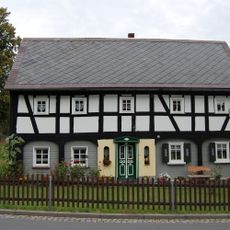
Dorfstraße 65
4.1 km
Dorfstraße 34
4 km
Dorfstraße 33
3.7 km
Grenzviebig 5
4.1 km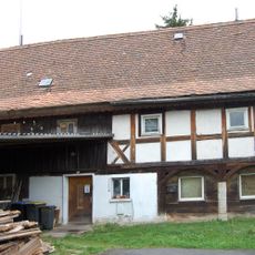
Grenzviebig 3
4.1 kmReviews
Visited this place? Tap the stars to rate it and share your experience / photos with the community! Try now! You can cancel it anytime.
Discover hidden gems everywhere you go!
From secret cafés to breathtaking viewpoints, skip the crowded tourist spots and find places that match your style. Our app makes it easy with voice search, smart filtering, route optimization, and insider tips from travelers worldwide. Download now for the complete mobile experience.

A unique approach to discovering new places❞
— Le Figaro
All the places worth exploring❞
— France Info
A tailor-made excursion in just a few clicks❞
— 20 Minutes