
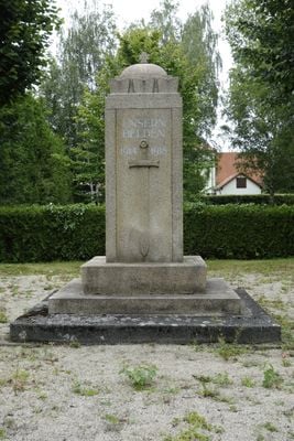
War memorial Neue Straße, World War I memorial in Niedercunnersdorf
Location: Kottmar
Inception: 1918
Address: Neue Straße 1 (neben) (hinterm Kirchhof)
GPS coordinates: 51.05446,14.65364
Latest update: April 7, 2025 03:20
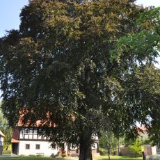
Rotbuche
286 m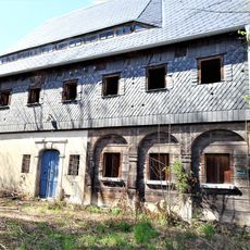
Alte Dorfstraße 20
226 m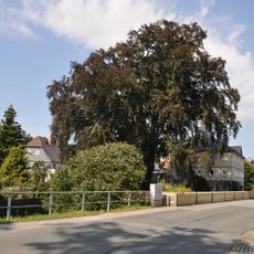
Blutbuche
254 m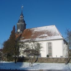
Church and cemetery NIedercunnersdorf
41 m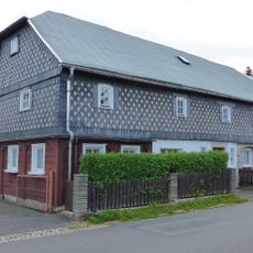
Niedere Hauptstraße 31
292 m
Neue Straße 1
72 m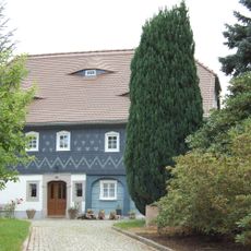
Alte Dorfstraße 14
227 m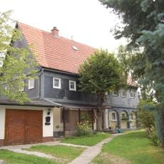
Alte Dorfstraße 7
220 m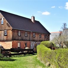
Alte Dorfstraße 29
313 m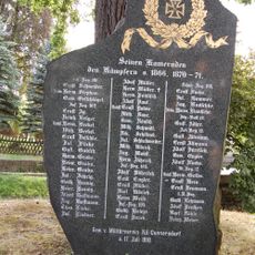
War memorial and oak Niedere Hauptstraße
268 m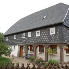
Niedere Hauptstraße 32
293 m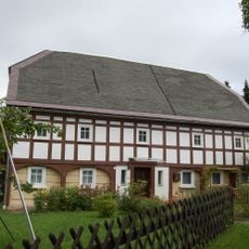
Alte Dorfstraße 6
230 m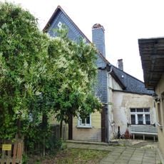
Niedere Hauptstraße 21
324 m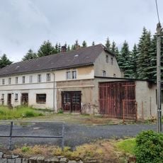
Alte Dorfstraße 2
283 m
Alte Dorfstraße 3
248 m
Niedere Hauptstraße 37; 37a
306 m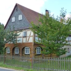
Niedere Hauptstraße 33
261 m
Niedere Hauptstraße 35
261 m
Niedere Hauptstraße 36
277 m
An der Aue 1
246 m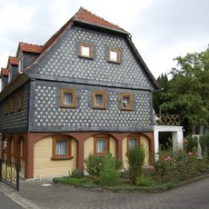
Alte Dorfstraße 8
193 m
Obercunnersdorfer Straße 10
126 m
Obercunnersdorfer Straße 12
141 m
Obercunnersdorfer Straße 13
161 m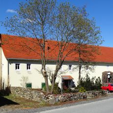
Obercunnersdorfer Straße 14; 15
206 m
Alte Dorfstraße 1
319 m
Niedere Hauptstraße 30
268 m
Alte Dorfstraße 22
269 mReviews
Visited this place? Tap the stars to rate it and share your experience / photos with the community! Try now! You can cancel it anytime.
Discover hidden gems everywhere you go!
From secret cafés to breathtaking viewpoints, skip the crowded tourist spots and find places that match your style. Our app makes it easy with voice search, smart filtering, route optimization, and insider tips from travelers worldwide. Download now for the complete mobile experience.

A unique approach to discovering new places❞
— Le Figaro
All the places worth exploring❞
— France Info
A tailor-made excursion in just a few clicks❞
— 20 Minutes