
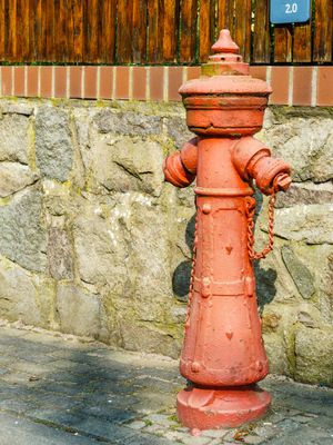
Hydrant Dahlen, frühes Zeugnis der öffentlichen (Lösch-)Wasserversorgung von Dahlen, ortsgeschichtlich von Bedeutung
Location: Dahlen
Inception: 1900
Address: Dahlen
GPS coordinates: 51.36616,13.00252
Latest update: March 5, 2025 12:38
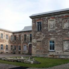
Dahlen Castle
474 m
Stadtkirche Unserer Lieben Frauen
211 m
Markt 6
363 m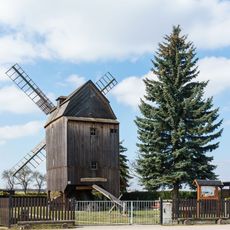
Schmannewitzer Windmühle
3.2 km
Bahnhof Dahlen (Sachs)
2 km
Kirchstraße 25
106 m
Lagerhalle Dahlen
1.5 km
Kgl.-sächs. Postmeilenstein Bahnhof
2.1 km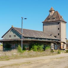
Hainstraße 8
2 km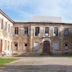
Dahlen castle
725 m
Auszugshaus eines ehemaligen Dreiseithofes Straße der Einheit 6
3.2 km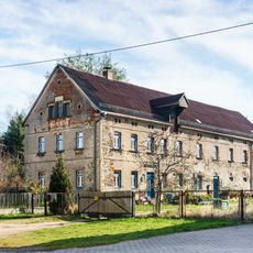
Straße der Einheit 17
3.4 km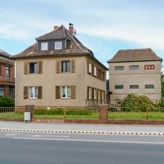
Wohnhaus mit Einfriedung sowie Transformatorenstation Dahlen
866 m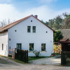
August-Bebel-Straße 3a
3.2 km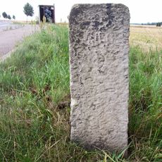
Wegestein Großböhla
3.1 km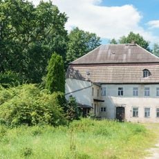
Mehlmühle Lampertswalde
2.5 km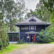
Jagdhaus
2.9 km
August-Bebel-Straße 2
316 m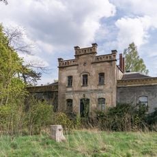
Villa (mit Freitreppe), Pflanzenhaus (mit Teesalon und Baderaum), Villengarten (Gartendenkmal) mit Grotte, Ruine, grottiertem Sitzplatz und künstlichem Wasserlauf, außerdem Brunnen, Pumpe und Einfriedung Bahnhofstraße 115
2.4 km
Mühlgässchen 6
308 m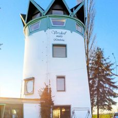
Vorsdorfmühle
2.3 km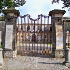
Heritage site Dahlen
725 m
Markt 2
451 m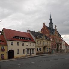
Markt 3
410 m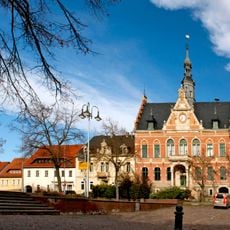
Rathaus Dahlen
388 m
Bahnhofstraße 63
696 m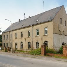
Wohn und Schlossereiwerkstattgebäude in offener Bebauung und Einfriedung Dahlen
643 m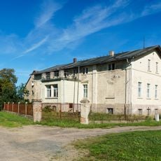
Ladestrasse 3, Dahlen
2 kmReviews
Visited this place? Tap the stars to rate it and share your experience / photos with the community! Try now! You can cancel it anytime.
Discover hidden gems everywhere you go!
From secret cafés to breathtaking viewpoints, skip the crowded tourist spots and find places that match your style. Our app makes it easy with voice search, smart filtering, route optimization, and insider tips from travelers worldwide. Download now for the complete mobile experience.

A unique approach to discovering new places❞
— Le Figaro
All the places worth exploring❞
— France Info
A tailor-made excursion in just a few clicks❞
— 20 Minutes