
Viadukt Stützengrün Stützengrün, bridge in Germany
Location: Stützengrün
Inception: 1890
Address: Stützengrün
GPS coordinates: 50.52985,12.52155
Latest update: March 14, 2025 11:08
Kuhberg
1.9 km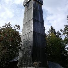
Steinberg bei Wernesgrün
4.2 km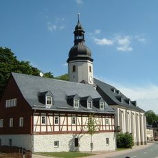
Museum in Schönheide
3.1 km
Luthereiche
3.1 km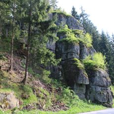
Rockenstein
4.4 km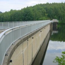
Vorsperre Schönheiderhammer
4 km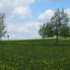
Moore südlich von Schönheide
4 km
Grüner Graben (Eibenstock)
6.1 km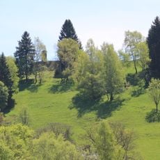
Bergwiesen um Schönheide und Stützengrün
2.2 km
Vorbecken Rähmerbach
5.2 km
Coat of arms tree of Schönheide - Wappeneiche
3.1 km
Museumsbahn Schönheide e. V
2.6 km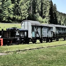
Förderverein Historische Westsächsische Eisenbahnen e.V.
6.1 km
Am Hotel Carola 698 m
3.1 km
Kirche Blumenweg 6
5.8 km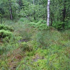
Moorgebiet Moosheide Obercrinitz
5.1 km
Straße der Einheit 3
3.1 km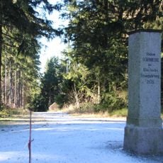
Station 140 Schönheide
1.9 km
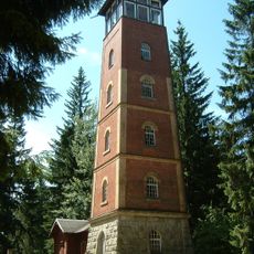
Prince-George-Tower
1.9 km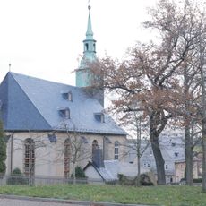
Kirche Kirchweg 2
1.9 km
Polish-Saxon Post Milestone in Stützengrün
4.8 km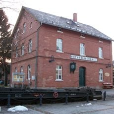
Rothenkirchen (Vogtl) train station
1.7 km
Nadlerhaus Hundshübel
3.5 km
Eiche neben der Kirche in Niederschindmaas
3.6 km
Albertsberg
6 km
Carolagrün
5 km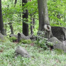
Crinitzberg
3.6 km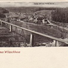
Muldentalviadukt Wilzschhaus
5.7 kmReviews
Visited this place? Tap the stars to rate it and share your experience / photos with the community! Try now! You can cancel it anytime.
Discover hidden gems everywhere you go!
From secret cafés to breathtaking viewpoints, skip the crowded tourist spots and find places that match your style. Our app makes it easy with voice search, smart filtering, route optimization, and insider tips from travelers worldwide. Download now for the complete mobile experience.

A unique approach to discovering new places❞
— Le Figaro
All the places worth exploring❞
— France Info
A tailor-made excursion in just a few clicks❞
— 20 Minutes