
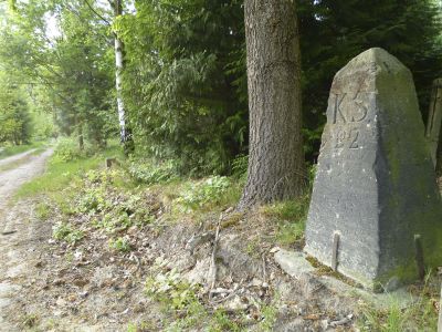
Sächsisch-Preußischer Grenzstein: Pilar Nr. 22
Sächsisch-Preußischer Grenzstein: Pilar Nr. 22, Zeitdokument der historischen Grenzziehung zwischen Sachsen und Preußen nach dem Wiener Kongress 1815
Location: Belgern-Schildau
Inception: 1828
Part of: Border Kingdom of Saxony-Kingdom of Prussia 1815, political border
Address: S-Weg -
GPS coordinates: 51.42363,12.92159
Latest update: March 5, 2025 22:04
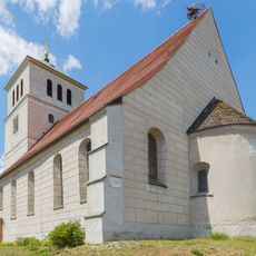
St. Marien
3.4 km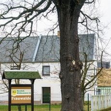
Oak (south) in Frauwalde
2.7 km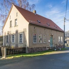
Borngasse 2
2.4 km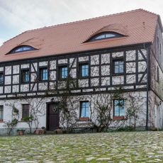
Forstweg 6
2.2 km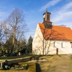
Dorfkirche Ochsensaal
2.3 km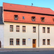
Marktstraße 19
3.7 km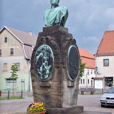
Gneisenaudenkmal
3.6 km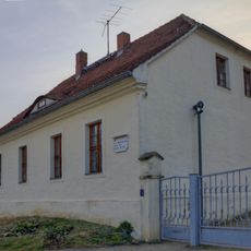
Kirchberg 4
3.4 km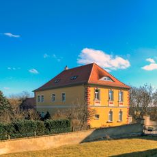
Pfarrhaus Schildau
3.4 km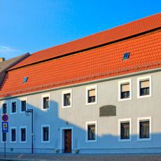
Gneisenaustraße 2
3.6 km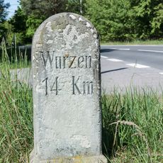
Royal Saxon milestone
586 m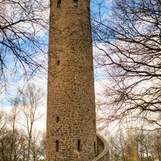
Schildbergturm
2.9 km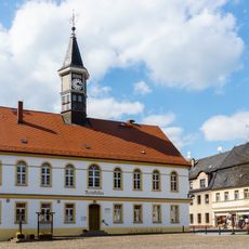
Rathaus Schildau
3.6 km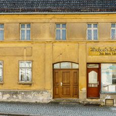
Marktstraße 7
3.7 km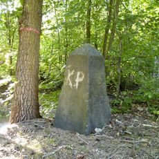
Sächsisch-Preußischer Grenzstein: Pilar Nr. 20 (linkselbisch)
327 m
Am Wiesenweg 9
2.2 km
Sand pit west of Schildau
3.5 km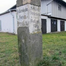
Wegestein Frauwalde
2.2 km
Zündschnurfabrik
3.3 km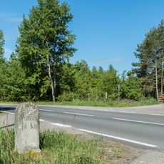
Royal Saxon milestone
586 m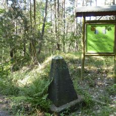
Sächsisch-Preußischer Grenzstein: Pilar Nr. 19
2.1 km
Sächsisch-Preußischer Grenzstein: Pilar Nr. 17 (linkselbisch)
3.7 km
Lime Tree in Frauwalde
2.4 km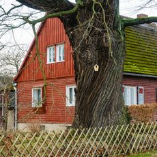
Oak (north) in Frauwalde
2.4 km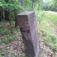
Wegestein Schildau
699 m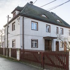
Am Wiesenweg 12
2.2 km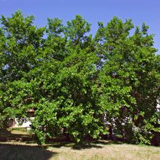
Morus alba in Schildau
3.5 km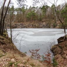
Pond in stone quarry on Schildauer Berg
2.2 kmVisited this place? Tap the stars to rate it and share your experience / photos with the community! Try now! You can cancel it anytime.
Discover hidden gems everywhere you go!
From secret cafés to breathtaking viewpoints, skip the crowded tourist spots and find places that match your style. Our app makes it easy with voice search, smart filtering, route optimization, and insider tips from travelers worldwide. Download now for the complete mobile experience.

A unique approach to discovering new places❞
— Le Figaro
All the places worth exploring❞
— France Info
A tailor-made excursion in just a few clicks❞
— 20 Minutes